Bapatla mandal

Log in to your account

AroundUs is a community-driven map of interesting places, built by curious explorers like you. It grows with every review, story, and photo you share.
Connect to save your favorite spots, contribute locations, and create personalized routes.
Continue with Google
Continue with Apple
Continue with X
Continue with Facebook
Continue with email
By continuing, you accept our Terms and Conditions and our Privacy Policy
Create an account
Add to collection
Map
Suggest a change
Share

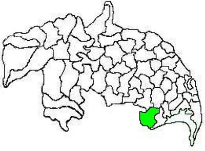
Bapatla mandal, Administrative region in Guntur district, India

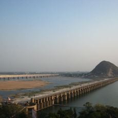
Bapatla mandal is an administrative region in Andhra Pradesh comprising 21 settlements, including 20 villages and the central town, located in a coastal area. The region connects via National Highway 216 and contains several educational institutions, including the College of Food Science and Technology.

The area developed from an agricultural center into a diverse administrative unit over time. It later became divided between Guntur and Bapatla districts following administrative reorganization.

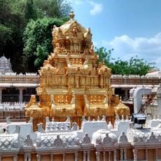
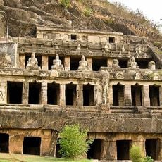
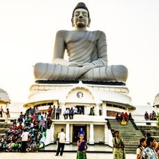
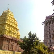
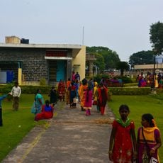
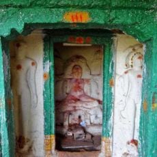
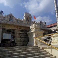
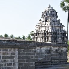
Telugu remains the primary language for 93 percent of residents, while the area maintains strong traditions through local temples and community celebrations.

The region is easily accessible via major roads and provides various public services and educational facilities throughout the settlements. Visitors should be aware that Telugu is the primary language spoken and local seasons influence the best times to visit.

The population shows an unusual gender ratio of 1030 females per 1000 males, which differs from typical demographic patterns in Indian administrative regions. This characteristic makes the area noteworthy for its atypical demographic composition.

Location: Bapatla district

Capital city: Bapatla

GPS coordinates: 15.90500,80.46800

Latest update: December 11, 2025 18:02

Photos
Reviews

Visited this place? Tap the stars to rate it and share your experience / photos with the community! Try now! You can cancel it anytime.

« Bapatla mandal - Administrative region in Guntur district, India » is provided by Around Us (aroundus.com). Images and texts are derived from Wikimedia project under a Creative Commons license. You are allowed to copy, distribute, and modify copies of this page, under the conditions set by the license, as long as this note is clearly visible.

Discover hidden gems everywhere you go!

From secret cafés to breathtaking viewpoints, skip the crowded tourist spots and find places that match your style. Our app makes it easy with voice search, smart filtering, route optimization, and insider tips from travelers worldwide. Download now for the complete mobile experience.

Around Us App Screenshot

A unique approach to discovering new places

Le Figaro

All the places worth exploring

France Info

A tailor-made excursion in just a few clicks

20 Minutes