Appenzell Alps, Mountain range in northeastern Switzerland.
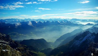
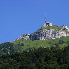
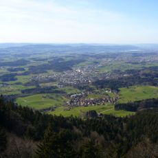
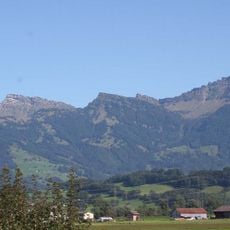
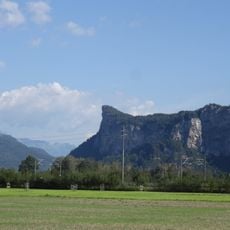
The Appenzell Alps are a mountain range in northeastern Switzerland stretching across several cantons with greatly varying heights and terrain. This range is composed primarily of limestone and displays green valleys, steep slopes, and multiple peaks, with Säntis at 2,502 meters being the highest point.
This mountain range formed during the Alpine orogeny millions of years ago as sedimentary rock layers folded and thrust upward. The resulting limestone formations created distinct geological characteristics that differ notably from the granite-based rock found in the central Alps further south.
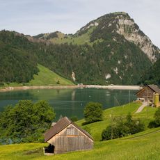
Herders in these mountains follow seasonal patterns that have shaped the region for generations, moving cattle to high pastures when spring arrives and bringing them back down as autumn approaches. This practice remains central to how the land is used and how communities organize their year.
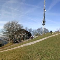
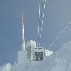
Cable cars at locations like Wasserauen and Hoher Kasten provide straightforward access to the mountains, where numerous hiking trails begin at varying difficulty levels. Bring sturdy footwear and weather-resistant clothing since conditions can change quickly depending on elevation and season.
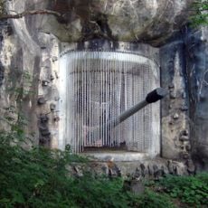
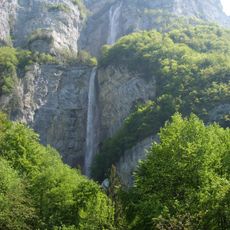
The limestone rock beneath these mountains conceals an extensive system of caves, sinkholes, and underground rivers that drain water into the Rhine valley. This hidden network explains why some mountain areas appear surprisingly dry despite regular rainfall in the region.
The community of curious travelers
AroundUs brings together thousands of curated places, local tips, and hidden gems, enriched daily by 60,000 contributors worldwide.