
Coka, town in Banbar, Qamdo, Tibet, China
Location: Banbar County
Elevation above the sea: 3,734 m
GPS coordinates: 30.90584,94.67023
Latest update: March 31, 2025 20:20
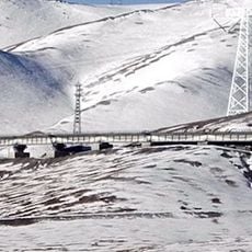
Qingzang railway
264.8 km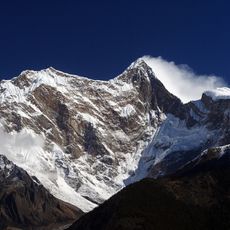
Namcha Barwa
146.6 km
Yarlung Tsangpo Grand Canyon
130.1 km
Dibang River Bridge
323.1 km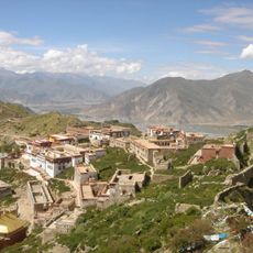
Ganden Monastery
332.4 km
Mouling National Park
259.2 km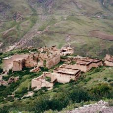
Yerpa
350.5 km
Yungbulakang Palace
339 km
Tradruk Temple
338.1 km
Reting Monastery
309.7 km
Mehao Wildlife Sanctuary
329.7 km
Triten Norbutse
119.4 km
Gomsi
322.1 km
Riwoche Monastery
182.1 km
Galden Jampaling Monastery
240.7 km
Karma Gon Monastery
236.8 km
Tsozong Gongba Monastery
123.3 km
Lamaling Monastery
163.2 km
Taklung Monastery
341 km
Bairiga
276.7 km
Thrangu Monastery
318.3 km
Mila Mountain
252.1 km
Densatil Monastery
315.3 km
Jyekundo Monastery
322.5 km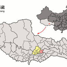
Chekha
295.5 km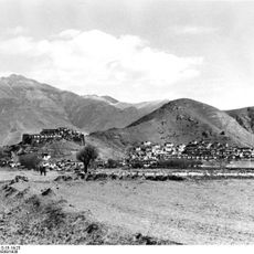
Dzong de Nédong
333.3 km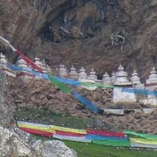
Chörten der dreißig Generäle des Königs Gesar von Ling und Tana-Tempel
148 km
Mini zoo Roing
326.8 kmReviews
Visited this place? Tap the stars to rate it and share your experience / photos with the community! Try now! You can cancel it anytime.
Discover hidden gems everywhere you go!
From secret cafés to breathtaking viewpoints, skip the crowded tourist spots and find places that match your style. Our app makes it easy with voice search, smart filtering, route optimization, and insider tips from travelers worldwide. Download now for the complete mobile experience.

A unique approach to discovering new places❞
— Le Figaro
All the places worth exploring❞
— France Info
A tailor-made excursion in just a few clicks❞
— 20 Minutes