Sai Kung District Council, District council in Sai Kung, Hong Kong.
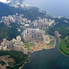
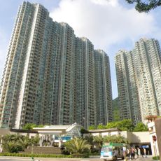
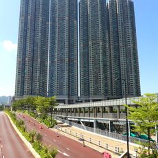
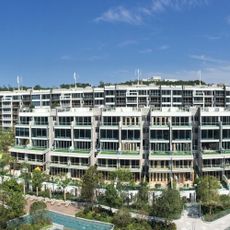
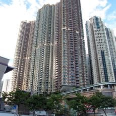
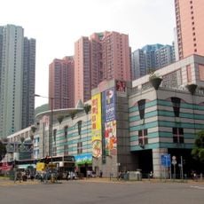
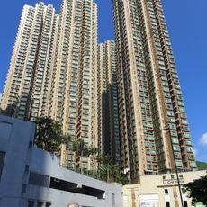
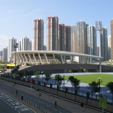
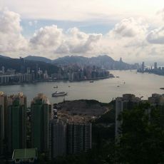
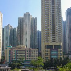
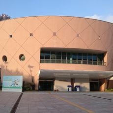
The Sai Kung District Council oversees a region that includes the busy Sai Kung Town, the newer Tseung Kwan O development, and more than 70 islands scattered across the area. The district covers roughly 13,000 hectares (32,000 acres) and serves a population of around 490,000 people with a mix of urban neighborhoods and quieter rural spaces.
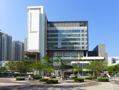
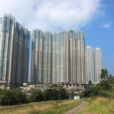
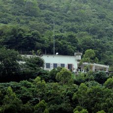
The area was originally organized under an administrative structure called Tung Yeuk, which was established in 1898, and only received formal district status in 1982. After World War II, the region shifted from mainly farmland and fishing villages to a modern district with residential developments and industrial zones.
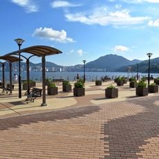
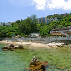
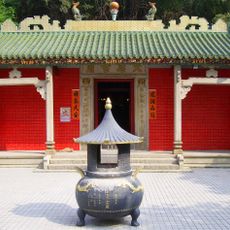
The area reflects a mix of traditional fishing communities and modern urban development, where established local ways meet recent growth. Visitors notice this blend in local markets, temples, and how people use the waterfront and village spaces.
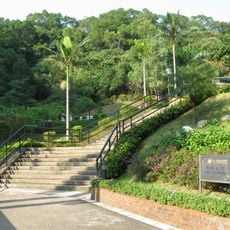
The area is easy to reach by public transport, with buses and ferries connecting different parts, especially for reaching the islands. The best time to explore is outside rush hours, when the area feels less crowded and you can walk around and observe more freely.
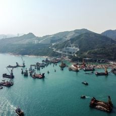
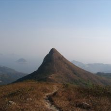
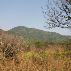
The region contains the Hong Kong UNESCO Global Geopark, one of only a few such sites in Asia, where you can see rock formations millions of years old. This makes the area draw those interested in natural science and geology, not just those dealing with local government matters.
The community of curious travelers
AroundUs brings together thousands of curated places, local tips, and hidden gems, enriched daily by 60,000 contributors worldwide.