
桂渓鎮
Location: Beichuan Qiang Autonomous County
GPS coordinates: 31.97858,104.63275
Latest update: April 30, 2025 12:23
Sanxingdui
117.1 km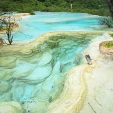
Huanglong
112.2 km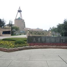
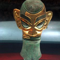
Sanxingdui Museum
115.5 km
Zhang Fei Temple
133.4 km
Beichuan Earthquake Museum
25.5 km
Jianmen Shudao National Park
91.6 km
Bao'en Temple
49.1 km
Annunciation Seminary
107.6 km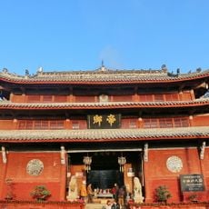
Qiqushan Temple
61.9 km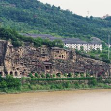
Thousands buddhas cliff
126.6 km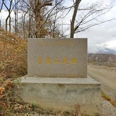
Yingpanshan Site
85.4 km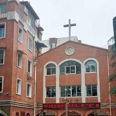
Gospel Church, Mianyang
59.4 km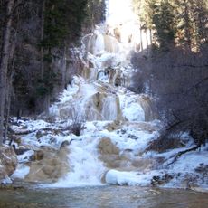
Munigou
122.6 km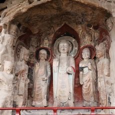
Huangze Temple
122.3 km
Deyang Confucian Temple
97 km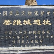
姜维城遗址
114 km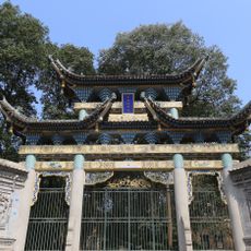
Baba Mosque
134.1 km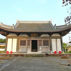
Kaixi Temple
62.2 km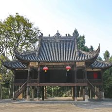
Ma'an Temple
67.8 km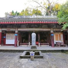
Yuquan Temple
65.3 km
Luban Shuiku
123.1 km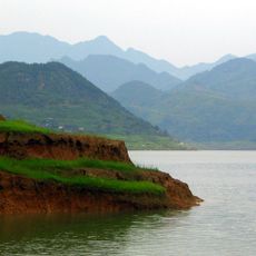
Baozhusi Dam
110 km
Baishuihe Shuiku
60.9 km
Xiangtanzi Shuiku
133.1 km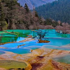
Huanglong Valley
110.8 km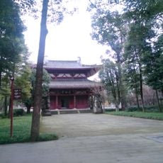
Li Bai Memorial Hall
24.5 km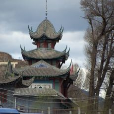
Songpan North mosque
122.3 km
Renmin Shuiku
62.6 kmReviews
Visited this place? Tap the stars to rate it and share your experience / photos with the community! Try now! You can cancel it anytime.
Discover hidden gems everywhere you go!
From secret cafés to breathtaking viewpoints, skip the crowded tourist spots and find places that match your style. Our app makes it easy with voice search, smart filtering, route optimization, and insider tips from travelers worldwide. Download now for the complete mobile experience.

A unique approach to discovering new places❞
— Le Figaro
All the places worth exploring❞
— France Info
A tailor-made excursion in just a few clicks❞
— 20 Minutes