Enable Location

We need your location to show you interesting places around you

Discover nearby places

Find interesting locations and hidden gems around you

Precise directions

Get accurate directions and distances to places

Your location is never shared with other users. It's only used when you tap the location button.

Neckar-Odenwald

Log in to your account

Start exploring — it's free

Trusted by 61,482 travelers worldwide

Continue with Google
Continue with Apple
or

We will send you a code to connect

By continuing, you accept our Terms and Conditions and our Privacy Policy

Check your inbox

We've sent a pincode in your inbox. Please enter the code below.

Neckar-Odenwald, Administrative district in Northern Baden-Württemberg, Germany.

Description

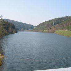
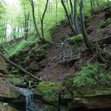
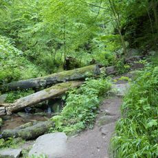
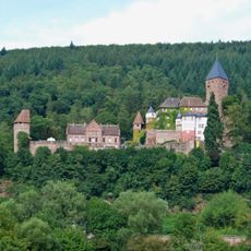
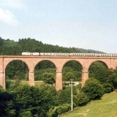
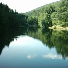
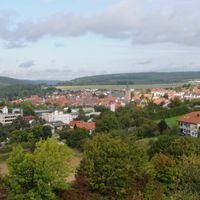
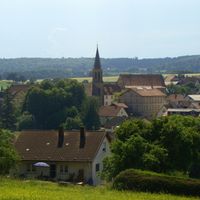
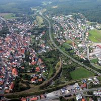
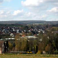
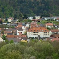
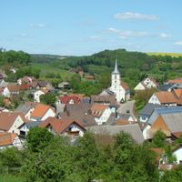
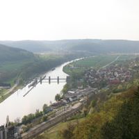
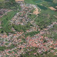
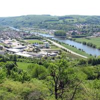
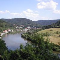
This rural district in Baden-Württemberg stretches across hilly terrain between the Neckar valley and the Odenwald uplands, made up of numerous small towns and villages. The landscape shifts between forests, meadows, and river valleys that define the character of the area.

History

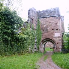
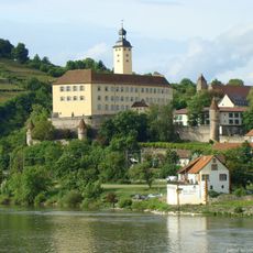
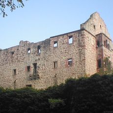
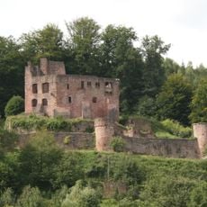
The district came into its current form in 1973 when two separate administrative regions merged, though the land itself had experienced centuries as part of different German territories. Before modern reorganization, this area was divided among several different rulers and states.

Culture

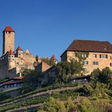
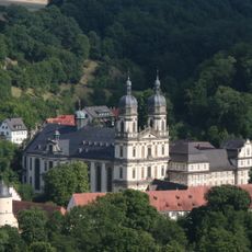
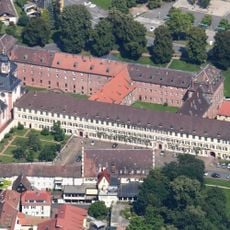
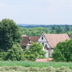
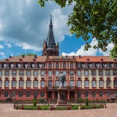
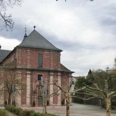
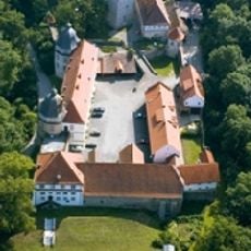
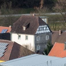
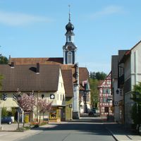
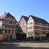
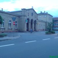
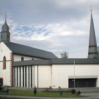
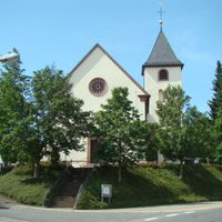
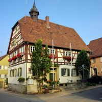
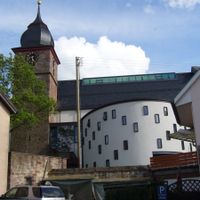
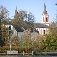
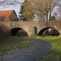
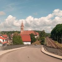
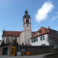
The region's position between two natural landscapes shapes the architecture and village layouts you see today, where half-timbered houses and small market squares reflect how people have lived here for generations.

Practical

The area is best explored by car or regional train services since villages are scattered and not all are easily reachable by public transport. Visitors should know that some parts are small and quiet, with fewer tourist facilities than larger towns.

Did you know?

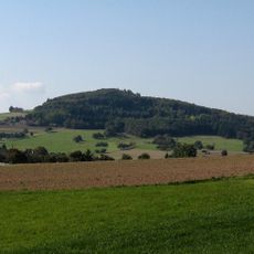
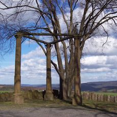
The Katzenbuckel near Waldbrunn at about 626 meters is the highest peak in the entire Odenwald range and offers wide views across the region from the top. Reaching this point is fairly easy for hikers and worth the effort for the views.

Capital city
Mosbach
Elevation above the sea
416 m
Shares border with
Miltenberg, Rhein-Neckar, Odenwald, Heilbronn, Hohenlohe, Main-Tauber-Kreis
GPS coordinates
49.48333,9.28333
Latest update
December 17, 2025 10:24

AroundUs brings together thousands of curated places, local tips, and hidden gems, enriched daily by 60,000 contributors worldwide. Discover all places nearby (Karlsruhe Government Region).

« Neckar-Odenwald - Administrative district in Northern Baden-Württemberg, Germany » is provided by Around Us (aroundus.com). Images and texts are derived from Wikimedia project under a Creative Commons license. You are allowed to copy, distribute, and modify copies of this page, under the conditions set by the license, as long as this note is clearly visible.

Discover hidden gems everywhere you go!

From secret cafés to breathtaking viewpoints, skip the crowded tourist spots and find places that match your style. Our app makes it easy with voice search, smart filtering, route optimization, and insider tips from travelers worldwide. Download now for the complete mobile experience.

Around Us App Screenshot

A unique approach to discovering new places

Le Figaro

All the places worth exploring

France Info

A tailor-made excursion in just a few clicks

20 Minutes

Around Us
Travel Guide & Maps
Download

Send to your phone

QR Code
1

Open the camera app on your mobile.

2

Point at the QR code with your camera. A notification will appear.

3

Tap the notification to open the link.