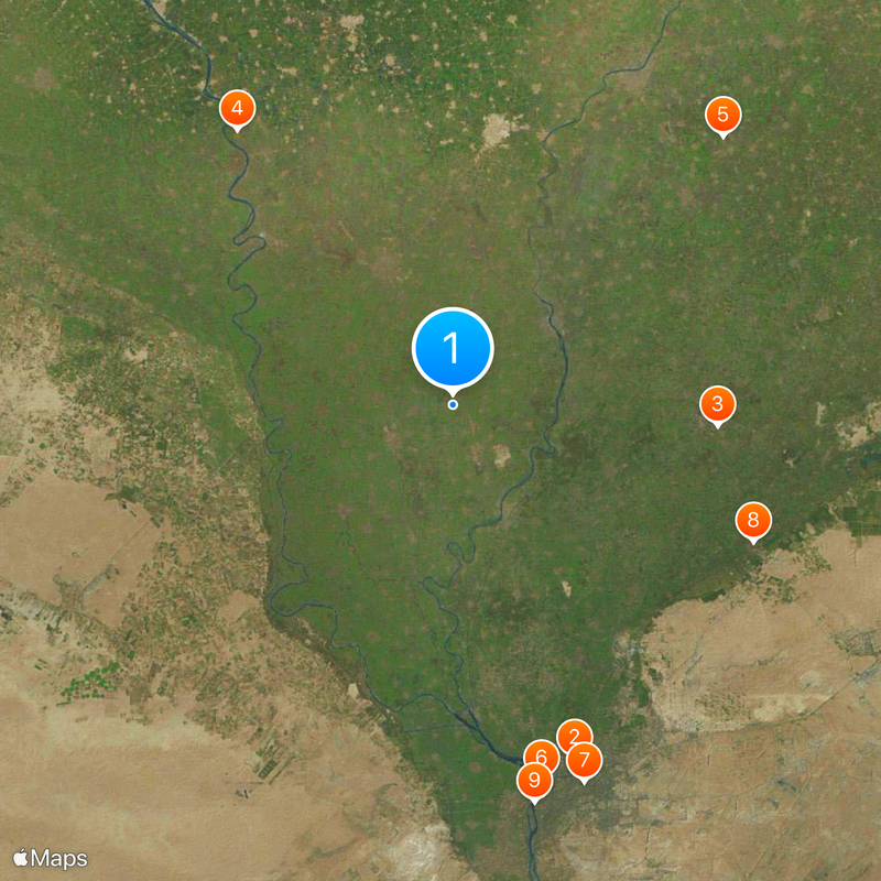
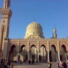
Lower Egypt, Geographic region in northern Egypt.
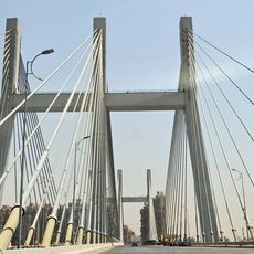
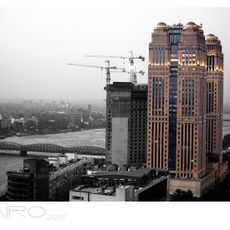
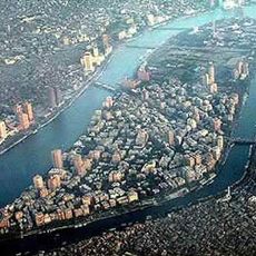
Lower Egypt stretches from Cairo to the Mediterranean and covers the triangular Nile Delta with its network of waterways and productive farmland. The area is divided into nine governorates, including Sharqia, Qalyubia, and Beheira, connected by canals and roads.
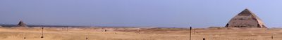
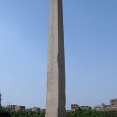
The territory formed a separate kingdom until around 3100 BCE, when King Menes united it with Upper Egypt and founded the first dynasty. In ancient times, it served as the economic center of the land, supplying cities and temples with grain and other goods.
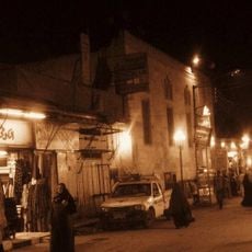
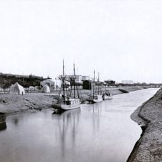
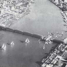
The northern territory preserves irrigation techniques passed down through centuries, while cities like Alexandria and Damietta maintain modern ports and trade routes with the Mediterranean basin. In fields between canals, families still plant rice and vegetables following a calendar tied to the river's water levels.
Visiting the area works best from November to March, when temperatures are milder and fields appear greener. Major cities are well connected, while rural zones often feature narrow roads and basic transport options.
The area receives an average of only 2.5 centimeters (1 inch) of rain per year, so every drop of water from the delta channels is used for household and farming needs. Many residents draw water for daily tasks directly from nearby canals.
The community of curious travelers
AroundUs brings together thousands of curated places, local tips, and hidden gems, enriched daily by 60,000 contributors worldwide.