Désert de Platé

Log in to your account

AroundUs is a community-driven map of interesting places, built by curious explorers like you. It grows with every review, story, and photo you share.
Connect to save your favorite spots, contribute locations, and create personalized routes.
Continue with Google
Continue with Apple
Continue with X
Continue with Facebook
Continue with email
By continuing, you accept our Terms and Conditions and our Privacy Policy
Create an account

Désert de Platé

Add to collection
Map
Suggest a change
Share

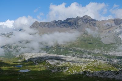
Désert de Platé, Karst plateau in Passy, Magland, Arâches-la-Frasse, and Sixt-Fer-à-Cheval, France.

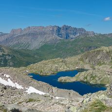
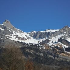
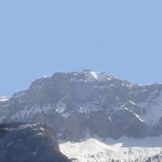
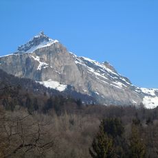
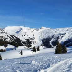
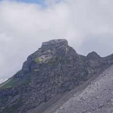
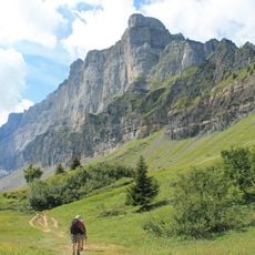
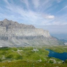
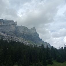
This limestone plateau extends across 1,980 hectares (4,893 acres) in the Fiz mountain range at elevations between 6,562 feet and 8,202 feet (2,000 and 2,500 meters), featuring sharp grooved rock formations carved by water and glacial erosion over thousands of years.

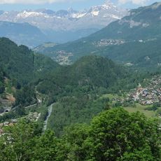
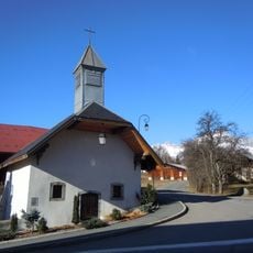
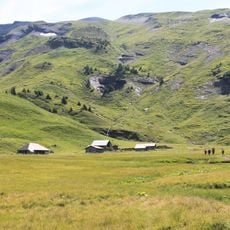
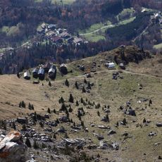
The site earned its desert designation due to historically difficult access requiring foot travel only, and since 1998 it has been recognized for its geological and landscape value within protected natural reserves in the region.

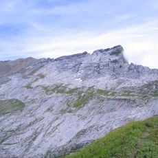
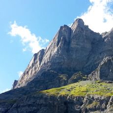
The plateau forms one of the largest lapiaz formations in Europe, composed of sedimentary rocks from the Eocene period dating back 34 to 40 million years, containing marine fossils including sea urchins and foraminifera that reveal ancient ocean floor environments.

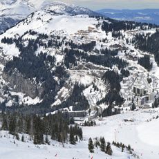
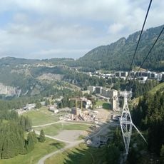
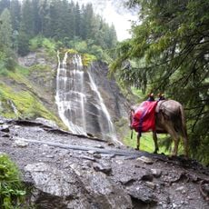
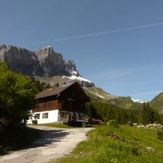
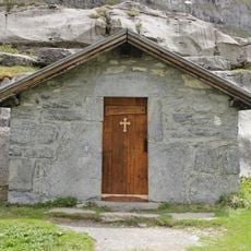
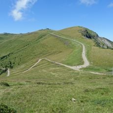
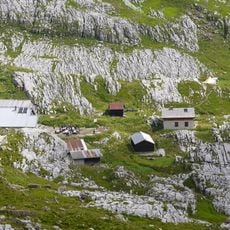
Visitors can reach the plateau from Passy or Flaine using hiking trails including the GR 96 route or by taking the Grandes Platières cable car, with the Platé refuge at 4,265 feet (1,300 meters) providing shelter and regional cuisine during summer months from June to September.

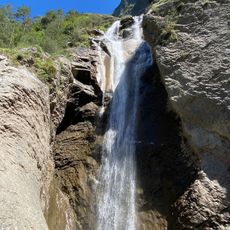
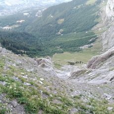
The exposed limestone surface displays parallel dissolution grooves and micro-depressions formed by rainwater enriched with carbon dioxide, creating a lunar-like terrain where cyanobacteria contribute to ongoing chemical weathering processes that continue reshaping the rock formations today.

Location: Passy

Location: Magland

Location: Arâches-la-Frasse

Location: Sixt-Fer-à-Cheval

Elevation above the sea: 2,400 m

Made from material: sedimentary rock

GPS coordinates: 45.97900,6.72200

Latest update: November 28, 2025 15:21

Photos
Natural sites of the Alps: lakes, gorges, and peaks to discover

The Alps offer a wide range of natural landscapes. You find mountain lakes with clear waters, like the Eibsee in Bavaria or the Sorapis Lake in the Dolomites, gorges carved by torrents like the Partnach Gorge or the Cirque of Sixt-Fer-à-Cheval, and stunning rocky peaks such as the Tre Cime di...

Reviews

Visited this place? Tap the stars to rate it and share your experience / photos with the community! Try now! You can cancel it anytime.

« Désert de Platé - Karst plateau in Passy, Magland, Arâches-la-Frasse, and Sixt-Fer-à-Cheval, France » is provided by Around Us (aroundus.com). Images and texts are derived from Wikimedia project under a Creative Commons license. You are allowed to copy, distribute, and modify copies of this page, under the conditions set by the license, as long as this note is clearly visible.

Discover hidden gems everywhere you go!

From secret cafés to breathtaking viewpoints, skip the crowded tourist spots and find places that match your style. Our app makes it easy with voice search, smart filtering, route optimization, and insider tips from travelers worldwide. Download now for the complete mobile experience.

Around Us App Screenshot

A unique approach to discovering new places

Le Figaro

All the places worth exploring

France Info

A tailor-made excursion in just a few clicks

20 Minutes