Chest opened
+${chestReward.xp} XP
Explorer
NOUVEAU ×${chestReward.collectible.quantity}
tapez pour fermer
Chest locked

Open chests in the app

Around Us is built for your phone — chests unlock when you walk, explore and capture nearby places.

Enable Location

We need your location to show you interesting places around you

Discover nearby places

Find interesting locations and hidden gems around you

Precise directions

Get accurate directions and distances to places

Your location is never shared with other users. It's only used when you tap the location button.

Mount Kaya

Log in to your account

Start exploring — it's free

Trusted by 72,891 travelers worldwide

Continue with Google
Continue with Apple
or

We will send you a code to connect

By continuing, you accept our Terms and Conditions and our Privacy Policy

Check your inbox

We've sent a pincode in your inbox. Please enter the code below.

Mount Kaya
Discussion Reviews 1 Photos
14.4k Popularity

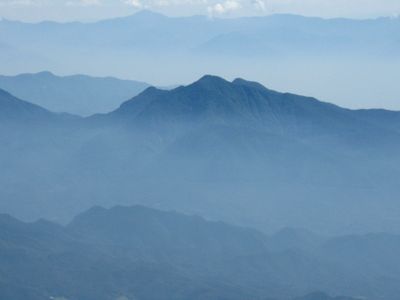
Mount Kaya, Mountain peak in Hokuto and Kai, Japan

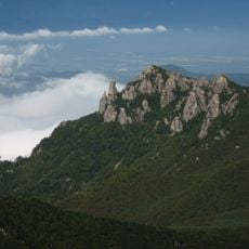
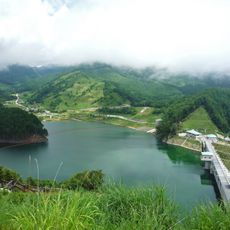
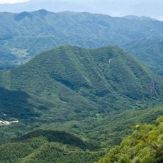
Mount Kaya is a mountain standing at 1,704 meters (5,590 ft) within the Okuchichibu range in Yamanashi Prefecture. It forms a natural border between the districts of Hokuto and Kai.

The mountain has served as a geographical reference point in the region for a long time, defining connections between neighboring communities. Its role as a boundary marker has remained constant over time.

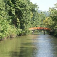
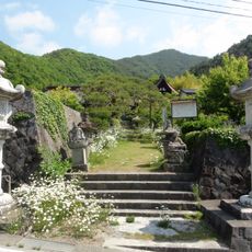
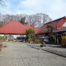
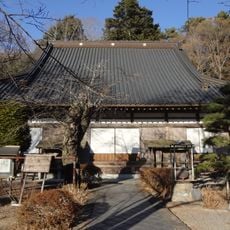
The mountain serves as a place where local hikers experience nature and seasons throughout the year. Communities in the surrounding towns view it as an important landmark that ties them to the landscape.

Multiple marked hiking trails lead to the summit from different starting points, with signs indicating distances and approximate completion times. It makes sense to check your route beforehand and follow the trail markers carefully.

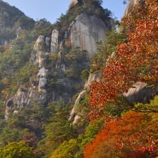
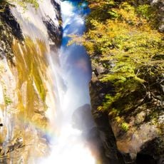
The rock formations of the mountain show volcanic activity from earlier times and help scientists understand the history of the Okuchichibu range. These geological features make the site interesting for those curious about the earth's past.

The community of curious travelers

AroundUs brings together thousands of curated places, local tips, and hidden gems, enriched daily by 60,000 contributors worldwide.

Start exploring
Location
Location
Kai
Elevation above the sea
1,704 m
GPS coordinates
35.79501,138.51376
Latest update
December 7, 2025 20:22
Reviews
Share your experience

No review yet

Discussions
Start a discussion...

No discussion yet

« Mount Kaya - Mountain peak in Hokuto and Kai, Japan » is provided by Around Us (aroundus.com). Images and texts are derived from Wikimedia project under a Creative Commons license. You are allowed to copy, distribute, and modify copies of this page, under the conditions set by the license, as long as this note is clearly visible.

Discover hidden gems everywhere you go!

From secret cafés to breathtaking viewpoints, skip the crowded tourist spots and find places that match your style. Our app makes it easy with voice search, smart filtering, route optimization, and insider tips from travelers worldwide. Download now for the complete mobile experience.

Around Us App Screenshot

A unique approach to discovering new places

Le Figaro

All the places worth exploring

France Info

A tailor-made excursion in just a few clicks

20 Minutes

Around Us
Travel Guide & Maps
Download

Send to your phone

QR Code
1

Open the camera app on your mobile.

2

Point at the QR code with your camera. A notification will appear.

3

Tap the notification to open the link.