Yuriria Municipality, Mexican municipality in the Mexican state of Guanajuato
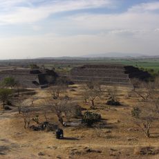
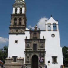
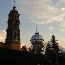
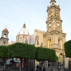
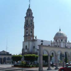
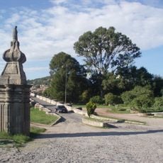
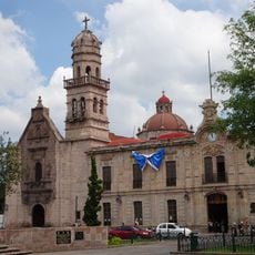
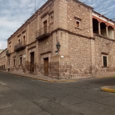
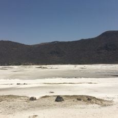
Yuriria Municipality is an administrative division in Guanajuato, Mexico, centered around a town with a historic Spanish church and many colonial buildings made of stone. The area features a large artificial lagoon called Laguna de Yuriria, where people fish, take boat rides, and watch birds like herons and pelicans.
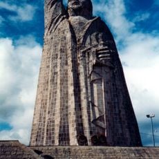
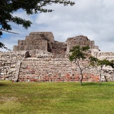
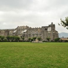
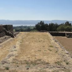
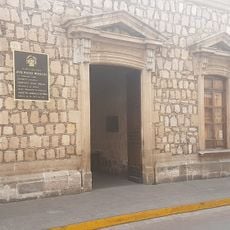
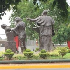
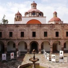
The region was inhabited by Purépechas, Otomis, and Chichimecas before Spanish missionaries built the Ex Convento de San Agustín in the 1500s. During Mexico's independence war, insurgents used the lake's islands as a stronghold, and in 1913 the town saw fighting during the Mexican Revolution, with residents defending their community using colonial buildings as shelter.
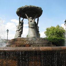
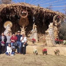
The name Yuriria comes from the Purépecha language meaning "place of the lake of blood." Residents keep traditions alive through crafts like weaving tule reed into mats, hats, and decorative items, and through regular gatherings at the central plaza for markets and festivals that bring the community together.
Visitors can walk through narrow stone-paved streets and admire colorful colonial buildings at a relaxed pace. Simple local eateries serve traditional dishes like tortillas and sweet atoles in flavors such as tamarind, wheat, and guava, making it easy to taste authentic local food without needing to search far.
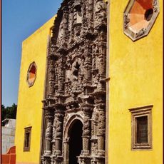
The Ex Convento de San Agustín was built as a fortress against rebellions and originally contained elaborate wooden altars that were later destroyed in fires. Visitors can climb to its terrace where ancient ahuehuete trees stand and a wide view of the lagoon opens up.
The community of curious travelers
AroundUs brings together thousands of curated places, local tips, and hidden gems, enriched daily by 60,000 contributors worldwide.