
Räitatjåkka, mountain in Sweden
Location: Kiruna Municipality
Elevation above the sea: 1,934 m
GPS coordinates: 67.99917,18.48167
Latest update: August 24, 2025 15:02
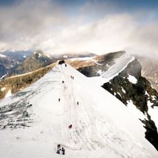
Kebnekaise
10.7 km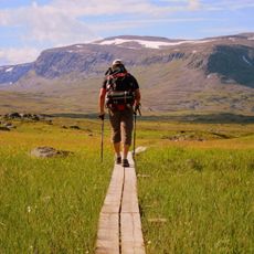
Kungsleden
41.9 km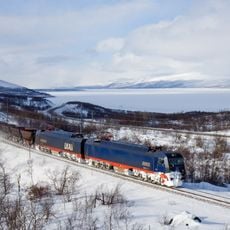
Iron Ore Line
43.2 km
Abisko National Park
37.1 km
Dag Hammarskjöldsleden
41.8 km
Njullá
42.5 km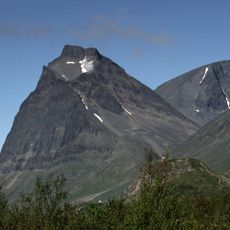
Tuolpagorni
14.1 km
Durlings led
17.9 km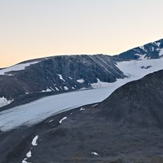
Storglaciären
11.6 km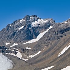
Kaskasatjåkka
7.6 km
Björlings glaciär
11.8 km
Nallo
3.3 km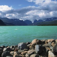
Ladtjojaure
23.2 km
Vierranvárri
13 km
Abiskojaure
33.4 km
Aurora Sky Station
41.6 km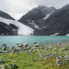
Kebnepakteglaciären
7.9 km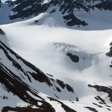
Isfallsglaciären
11.1 km
Gränsförsvarsmuseum
41.9 km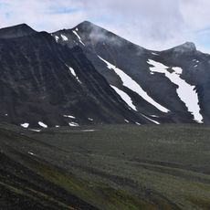
Šielmmáčohkka
4.7 km
Abisko naturvet. station
42.1 km
Låktatjåkka
42.9 km
Gearggejohka
44.8 km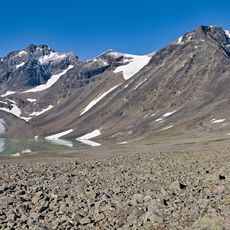
Sydvästra Kaskasatjåkkaglaciären
8 km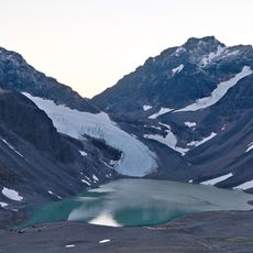
Sydöstra Kaskasapakkteglaciären
7.9 km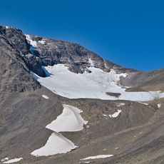
Se Kaskasatj Glacier
9.1 km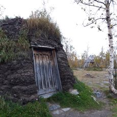
Abisko Sami camp
41.6 km
Savojokk
22.4 kmReviews
Visited this place? Tap the stars to rate it and share your experience / photos with the community! Try now! You can cancel it anytime.
Discover hidden gems everywhere you go!
From secret cafés to breathtaking viewpoints, skip the crowded tourist spots and find places that match your style. Our app makes it easy with voice search, smart filtering, route optimization, and insider tips from travelers worldwide. Download now for the complete mobile experience.

A unique approach to discovering new places❞
— Le Figaro
All the places worth exploring❞
— France Info
A tailor-made excursion in just a few clicks❞
— 20 Minutes