
Aktaş Tepesi, Berggipfel in der Türkei
Location: Erzurum Province
Elevation above the sea: 2,304 m
GPS coordinates: 40.03333,40.56667
Latest update: July 14, 2025 10:03
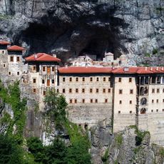
Sümela Monastery
106.2 km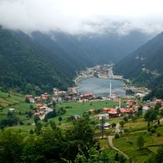
Uzungöl
69.2 km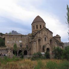
Oshki
105 km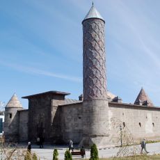
Yakutiye Medrese
61.8 km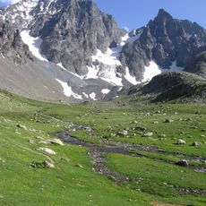
Kaçkar Dağı
102.5 km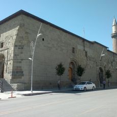
Erzurum Mosque
62.3 km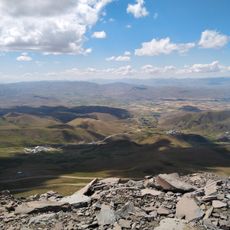
Eastern Anatolia Observatory
63 km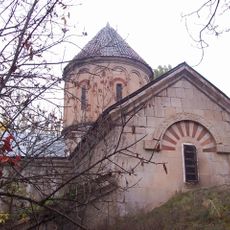
Khakhuli Monastery
92.4 km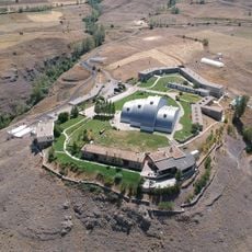
Baksi Museum
39.2 km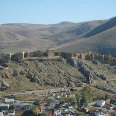
Bayburt Castle
38.5 km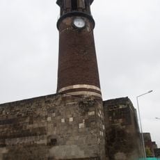
Tepsi Minare
62.1 km
Kaçkar Mountains National Park
102.7 km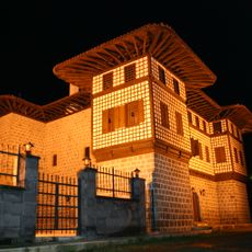
Yakupoğlu Memiş Ağa Konağı
103.4 km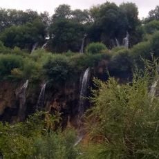
Gürlevik Waterfalls
87.1 km
Rüstem Pasha Caravanserai
61.9 km
Erzurum Lala Mustafa Paşa Mosque
61.9 km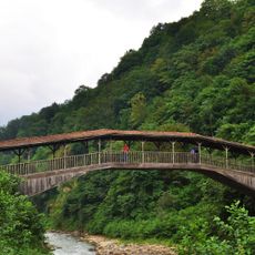
Hapsiyaş bridge
91.1 km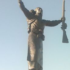
Nene Hatun Historical National Park
65.2 km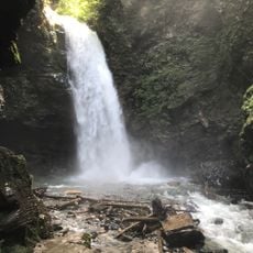
Palovit Waterfall
107.3 km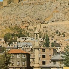
Bayburt Clock Tower
38.4 km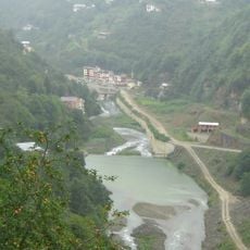
Manahoz Deresi
105.5 km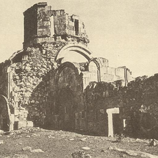
Varzahan Monastery
50.8 km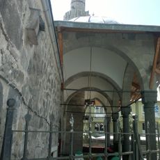
Erzurum Caferiye Camii
62.1 km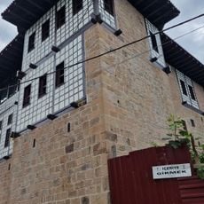
Çakıroğlu İsmail Ağa Konağı
100.4 km
Erzurum Boyahane Camii
61.8 km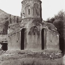
Ekeki Church
83.5 km
Çat Bridge
97.9 km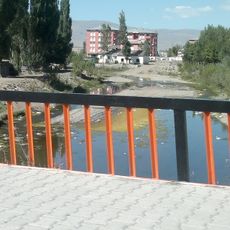
Pulur River
45.3 kmReviews
Visited this place? Tap the stars to rate it and share your experience / photos with the community! Try now! You can cancel it anytime.
Discover hidden gems everywhere you go!
From secret cafés to breathtaking viewpoints, skip the crowded tourist spots and find places that match your style. Our app makes it easy with voice search, smart filtering, route optimization, and insider tips from travelers worldwide. Download now for the complete mobile experience.

A unique approach to discovering new places❞
— Le Figaro
All the places worth exploring❞
— France Info
A tailor-made excursion in just a few clicks❞
— 20 Minutes