
Steeple, village and former civil parish in Dorset, UK
Location: Steeple with Tyneham
GPS coordinates: 50.63000,-2.12700
Latest update: March 14, 2025 06:20
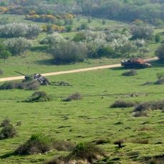
Lulworth Military Range
3.2 km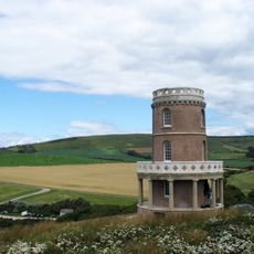
Clavell Tower
2.6 km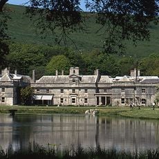
Encombe House
4.2 km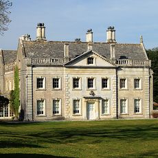
Creech Grange
1.1 km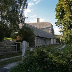
Barnston Manor
2 km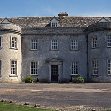
Smedmore House
2.6 km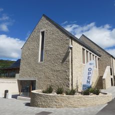
The Etches Collection
1.4 km
Flower's Barrow
4.8 km
Purbeck Mineral and Mining Museum
4.9 km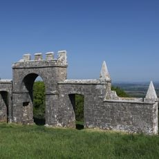
Grange Arch
641 m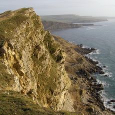
Gad Cliff
3.6 km
Worbarrow Tout
4.4 km
St James's Church, Kingston
4.7 km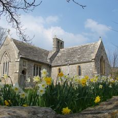
St Mary's Church
3.1 km
Creech Barrow Hill
1.7 km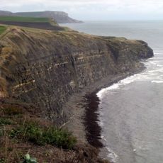
Hen Cliff
2.7 km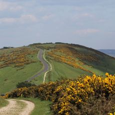
Povington Hill
2.3 km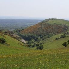
Stonehill Down Nature Reserve
1.9 km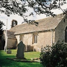
St Nicholas's Church, Kimmeridge
1.3 km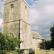
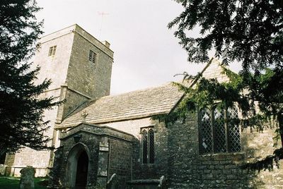
St Michael and All Angels church
280 m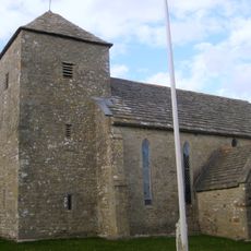
Parish Church of Saint Peter
3.1 km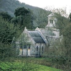
Chapel of St John the Evangelist
1.1 km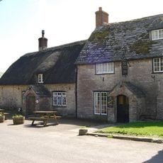
The New Inn
2.8 km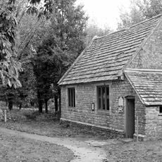
Former National School
3.1 km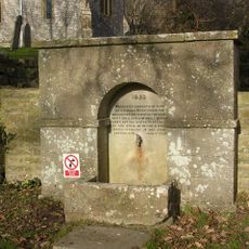
Drinking fountain, 17m south-east of the Church of St Mary
3.1 km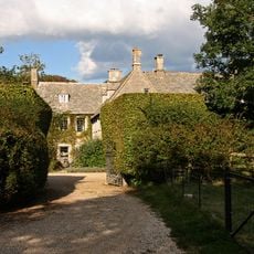
The Manor House
114 m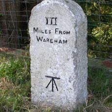
Milestone
4.1 km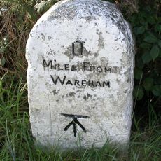
Milestone 450 Metres North West Of The Halfway Inn
4.2 kmVisited this place? Tap the stars to rate it and share your experience / photos with the community! Try now! You can cancel it anytime.
Discover hidden gems everywhere you go!
From secret cafés to breathtaking viewpoints, skip the crowded tourist spots and find places that match your style. Our app makes it easy with voice search, smart filtering, route optimization, and insider tips from travelers worldwide. Download now for the complete mobile experience.

A unique approach to discovering new places❞
— Le Figaro
All the places worth exploring❞
— France Info
A tailor-made excursion in just a few clicks❞
— 20 Minutes