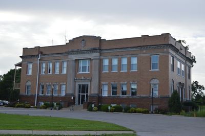
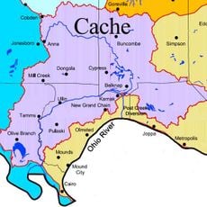
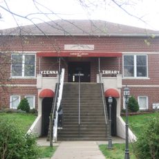
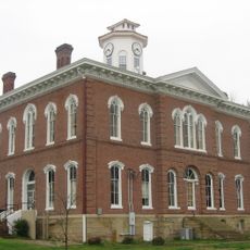
Pulaski County, County administrative division in Southern Illinois, United States
Description
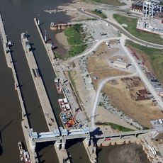
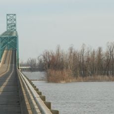
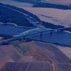
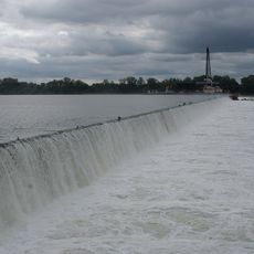
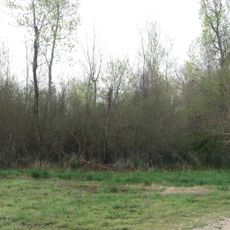
Pulaski County is an administrative division in Southern Illinois, spanning agricultural land and waterways that flow toward the Ohio River. The area sits within the Mississippi Alluvial Plain and combines farming regions with natural river landscapes.
History
The county was created in 1843 from sections of Alexander and Johnson counties, and named after Casimir Pulaski, a Polish military commander during the American Revolution. This division reflected the region's expansion and administrative growth.
Culture
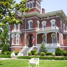
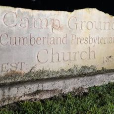
This region reflects the traditions of German, Irish, English, and African American communities whose histories and practices remain visible in local celebrations and everyday life.
Practical
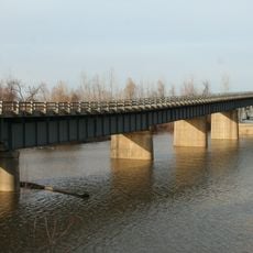
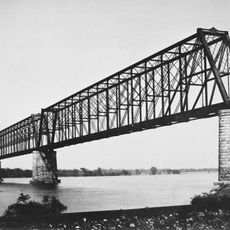
The area is crossed by major transportation routes including Interstate 57 and U.S. Highway 51, making it easy to travel through and around the region. These highways connect you to neighboring communities and natural areas.
Did you know?
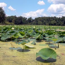
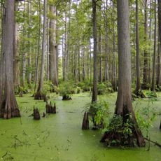
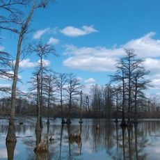
A portion of Cypress Creek National Wildlife Refuge lies within the county, protecting local wildlife and plant species while supporting environmental research. Visitors can observe the natural river ecosystem in this protected space.
AroundUs brings together thousands of curated places, local tips, and hidden gems, enriched daily by 60,000 contributors worldwide. Discover all places nearby (Illinois).
Olmsted Locks and Dam
7.8 km
Cairo Mississippi River Bridge
28 kmHoneywell Uranium Hexafluoride Processing Facility
33.7 km
Wickliffe Mounds
29 km
Magnolia Manor
25 km
Cache River
18.5 km
Cairo Ohio River Bridge
26.4 km
Cairo Rail Bridge
23.4 km
Cache River State Natural Area
21.3 km
Cairo I-57 Bridge
24.1 km
Mermet Lake State Fish and Wildlife Area
25 km
Cairo Historic District
25.3 km
Lock and Dam Number 53
8.9 km
Dogtooth Bend Mounds and Village Site
25.9 km
Heron Pond – Little Black Slough Nature Preserve
22.1 km
Mound City National Cemetery
16.3 km
Horseshoe Lake
21.9 km
Vienna Public Library
29.4 km
John Bridges Tavern and Store Site
25 km
Johnson County Courthouse
29.1 km
Campground Church and Cemetery Site
25.7 km
Pulaski County Courthouse
15.9 km
Ballard County Courthouse
29.7 km
St. Paulus Evangelisch Lutherischen Gemeinde
24.3 km
Barlow House
21.2 km
Trimble House
29.1 km
Bass Hill Lookout Tower
19.5 km
Honey School Lookout Tower
20.9 kmDiscover hidden gems everywhere you go!
From secret cafés to breathtaking viewpoints, skip the crowded tourist spots and find places that match your style. Our app makes it easy with voice search, smart filtering, route optimization, and insider tips from travelers worldwide. Download now for the complete mobile experience.
A unique approach to discovering new places❞
— Le Figaro
All the places worth exploring❞
— France Info
A tailor-made excursion in just a few clicks❞
— 20 Minutes