Enable Location

We need your location to show you interesting places around you

Discover nearby places

Find interesting locations and hidden gems around you

Precise directions

Get accurate directions and distances to places

Your location is never shared with other users. It's only used when you tap the location button.

Rockbridge County

Log in to your account

Start exploring — it's free

Trusted by 61,907 travelers worldwide

Continue with Google
Continue with Apple
or

We will send you a code to connect

By continuing, you accept our Terms and Conditions and our Privacy Policy

Check your inbox

We've sent a pincode in your inbox. Please enter the code below.

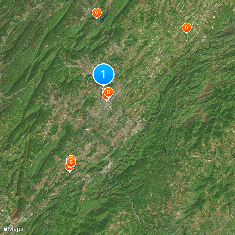
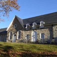
Rockbridge County, County seat and educational hub in Shenandoah Valley, Virginia, US

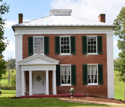
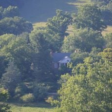
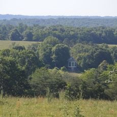
Rockbridge County is an administrative division in Shenandoah Valley with rolling terrain and the Maury River running through its landscape. Lexington serves as the county seat and contains the main government and civic services.

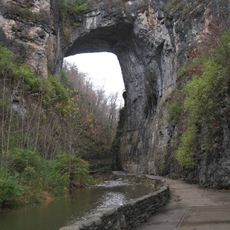
The county was established in 1778 and named after the Natural Bridge rock formation in the area. Lexington was designated as the administrative center that same year.

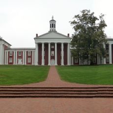
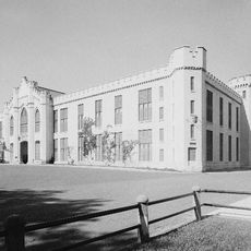
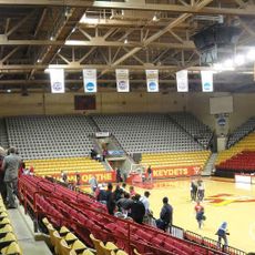
Washington and Lee University and Virginia Military Institute draw students from around the world, shaping how people live and interact in this part of Shenandoah Valley. These institutions influence local restaurants, shops, and public spaces where residents and visitors gather daily.

The area is accessible via U.S. Route 11 and Interstate 64, with connections to Roanoke and West Virginia. Visitors should know the terrain is hilly and a car is essential for exploring the region.

Hull's Drive-In Theatre was the first community-owned, nonprofit drive-in theater in the United States and operated under a unique business model. This cooperative approach allowed it to provide affordable entertainment for local residents for many decades.

The community of curious travelers

AroundUs brings together thousands of curated places, local tips, and hidden gems, enriched daily by 60,000 contributors worldwide.

Start exploring
Location
Inception
1778
Capital city
Lexington
Shares border with
Augusta County, Bedford County, Botetourt County, Bath County, Nelson County, Amherst County, Alleghany County, Lexington, Buena Vista
GPS coordinates
37.81000,-79.45000
Latest update
December 20, 2025 01:42
Around this place
Natural Bridge
United States of America

Natural Bridge

22 km
Lee Chapel
United States of America

Lee Chapel

2.6 km
Foamhenge
United States of America

Foamhenge

20.5 km
United States of America

Goshen Scout Reservation

17.6 km
Cyrus McCormick Farm
United States of America

Cyrus McCormick Farm

24.6 km
Stonewall Jackson House
United States of America

Stonewall Jackson House

2.9 km
George C. Marshall Foundation
United States of America

George C. Marshall Foundation

2.4 km
The Caverns at Natural Bridge
United States of America

The Caverns at Natural Bridge

21 km
James River Face Wilderness
United States of America

James River Face Wilderness

24.7 km
Washington and Lee University Historic District
United States of America

Washington and Lee University Historic District

2.7 km
United States of America

Rich Hole Wilderness

17.9 km
Virginia Military Institute Barracks
United States of America

Virginia Military Institute Barracks

2.5 km
Col Alto
United States of America

Col Alto

3.4 km
United States of America

Chessie Nature Trail

2.9 km
United States of America

Mount Joy Pond Natural Area Preserve

29.8 km
United States of America

Goshen Pass Natural Area Preserve

14.5 km
Cameron Hall
United States of America

Cameron Hall

2.7 km
Mulberry Hill
United States of America

Mulberry Hill

2.2 km
Timber Ridge Presbyterian Church
United States of America

Timber Ridge Presbyterian Church

8.8 km
Thorn Hill
United States of America

Thorn Hill

5.4 km
Southern Seminary Main Building
United States of America

Southern Seminary Main Building

11.7 km
Greyledge
United States of America

Greyledge

34.4 km
United States of America

Big Island Dam

31.6 km
Hickory Hill
United States of America

Hickory Hill

16.3 km
Speed the Plough
United States of America

Speed the Plough

38.3 km
Thunder Ridge Wilderness
United States of America

Thunder Ridge Wilderness

28.6 km
Stono
United States of America

Stono

2.8 km
Church Hill
United States of America

Church Hill

8.8 km
Show the full map
« Rockbridge County - County seat and educational hub in Shenandoah Valley, Virginia, US » is provided by Around Us (aroundus.com). Images and texts are derived from Wikimedia project under a Creative Commons license. You are allowed to copy, distribute, and modify copies of this page, under the conditions set by the license, as long as this note is clearly visible.

Discover hidden gems everywhere you go!

From secret cafés to breathtaking viewpoints, skip the crowded tourist spots and find places that match your style. Our app makes it easy with voice search, smart filtering, route optimization, and insider tips from travelers worldwide. Download now for the complete mobile experience.

Around Us App Screenshot

A unique approach to discovering new places

Le Figaro

All the places worth exploring

France Info

A tailor-made excursion in just a few clicks

20 Minutes

Around Us
Travel Guide & Maps
Download

Send to your phone

QR Code
1

Open the camera app on your mobile.

2

Point at the QR code with your camera. A notification will appear.

3

Tap the notification to open the link.