Chest opened
+${chestReward.xp} XP
Explorer
NOUVEAU ×${chestReward.collectible.quantity}
tapez pour fermer
Chest locked

Open chests in the app

Around Us is built for your phone — chests unlock when you walk, explore and capture nearby places.

Enable Location

We need your location to show you interesting places around you

Discover nearby places

Find interesting locations and hidden gems around you

Precise directions

Get accurate directions and distances to places

Your location is never shared with other users. It's only used when you tap the location button.

Log in to your account

Start exploring — it's free

Trusted by 72,880 travelers worldwide

Continue with Google
Continue with Apple
or

We will send you a code to connect

By continuing, you accept our Terms and Conditions and our Privacy Policy

Check your inbox

We've sent a pincode in your inbox. Please enter the code below.

Fort Berthold
Discussion Reviews Photo
3.8k Popularity

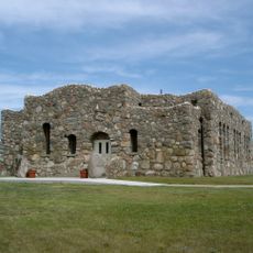
Fort Berthold, Historical fort on Missouri River, North Dakota.

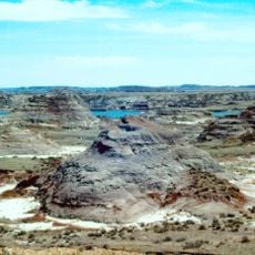
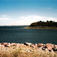
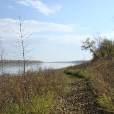
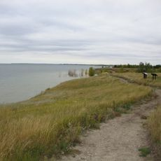
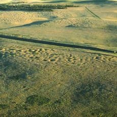
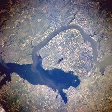
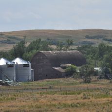
Fort Berthold is a reservation located near the Missouri River in western North Dakota. The land spans across several counties with open grasslands, river valleys, and areas shaped by the communities living here.

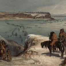
The reservation was established in 1870 following agreements that set aside land for the tribal nations. Over time, the boundaries and land use shifted as relationships between tribes and government evolved.

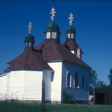
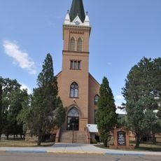
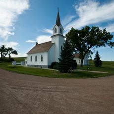
The three tribal nations - Mandan, Hidatsa, and Arikara - maintain their communities and cultural traditions across this land. You can experience their way of life through local gatherings, arts, and the stories woven into daily activities.

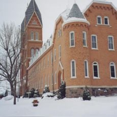
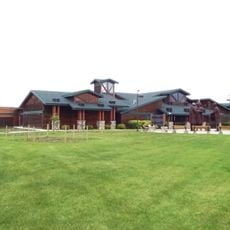
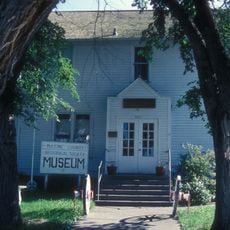
The tribal center is located near New Town and serves as a good starting point for visitors. Since the reservation covers a large area, it helps to plan ahead and focus on specific locations you want to explore.

The land sits above an oil and gas formation that became economically important to the reservation. This resource brought new opportunities and challenges that shaped how communities here adapted in recent decades.

The community of curious travelers

AroundUs brings together thousands of curated places, local tips, and hidden gems, enriched daily by 60,000 contributors worldwide.

Start exploring
Location
GPS coordinates
47.51250,-101.81333
Latest update
December 11, 2025 18:07
Around this place
Hell Creek Formation
United States of America

Hell Creek Formation

72.2 km
United States of America

Lake Sakakawea

30.2 km
Fort Mandan
United States of America

Fort Mandan

46.5 km
Salem Sue
United States of America

Salem Sue

79.1 km
Assumption Abbey
United States of America

Assumption Abbey

79.3 km
Maysa Arena
United States of America

Maysa Arena

86.5 km
Four Bears Bridge
United States of America

Four Bears Bridge

76.5 km
Audubon National Wildlife Refuge
United States of America

Audubon National Wildlife Refuge

48.9 km
Fort Clark Trading Post State Historic Site
United States of America

Fort Clark Trading Post State Historic Site

49.9 km
Lake Sakakawea State Park
United States of America

Lake Sakakawea State Park

27.2 km
Cross Ranch State Park
United States of America

Cross Ranch State Park

69.8 km
Fort Stevenson State Park
United States of America

Fort Stevenson State Park

30.8 km
Lake Ilo National Wildlife Refuge
United States of America

Lake Ilo National Wildlife Refuge

68.7 km
North Dakota Lewis and Clark Interpretive Center
United States of America

North Dakota Lewis and Clark Interpretive Center

62.7 km
Fred Krause House
United States of America

Fred Krause House

28 km
Crow Flies High State Recreation Area
United States of America

Crow Flies High State Recreation Area

75.8 km
Holy Trinity Ukrainian Greek Orthodox Church
United States of America

Holy Trinity Ukrainian Greek Orthodox Church

86.6 km
Lost Lake National Wildlife Refuge
United States of America

Lost Lake National Wildlife Refuge

74.3 km
Lynch Quarry Site
United States of America

Lynch Quarry Site

63.5 km
German Evangelical St. Johns Church
United States of America

German Evangelical St. Johns Church

70 km
Former McLean County Courthouse
United States of America

Former McLean County Courthouse

64.1 km
United States of America

Ingersoll School

62.1 km
Wabek Consolidated School
United States of America

Wabek Consolidated School

51.7 km
McLean County Courthouse
United States of America

McLean County Courthouse

64.2 km
Van Hook State Wildlife Management Area
United States of America

Van Hook State Wildlife Management Area

61.8 km
Sims Lutheran Church
United States of America

Sims Lutheran Church

85.8 km
Paul Broste Rock Museum
United States of America

Paul Broste Rock Museum

55.3 km
Louis Rehm Barn
United States of America

Louis Rehm Barn

67.9 km
Show the full map
Reviews
Share your experience

No review yet

Discussions
Start a discussion...

No discussion yet

« Fort Berthold - Historical fort on Missouri River, North Dakota » is provided by Around Us (aroundus.com). Images and texts are derived from Wikimedia project under a Creative Commons license. You are allowed to copy, distribute, and modify copies of this page, under the conditions set by the license, as long as this note is clearly visible.

Discover hidden gems everywhere you go!

From secret cafés to breathtaking viewpoints, skip the crowded tourist spots and find places that match your style. Our app makes it easy with voice search, smart filtering, route optimization, and insider tips from travelers worldwide. Download now for the complete mobile experience.

Around Us App Screenshot

A unique approach to discovering new places

Le Figaro

All the places worth exploring

France Info

A tailor-made excursion in just a few clicks

20 Minutes

Around Us
Travel Guide & Maps
Download

Send to your phone

QR Code
1

Open the camera app on your mobile.

2

Point at the QR code with your camera. A notification will appear.

3

Tap the notification to open the link.