Geography of New York-New Jersey Harbor Estuary, Maritime ecosystem in New York and New Jersey, United States
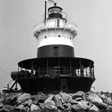
The New York-New Jersey Harbor Estuary is a large system of waterways, wetlands, and coastal areas where the Atlantic Ocean meets five major rivers. The network forms one of the busiest ports in North America, with channels dredged deep enough to handle large cargo and passenger ships.
The natural harbor was first documented by explorer Giovanni da Verrazzano in 1524 and has kept its basic form ever since. Despite dredging and changes to support shipping traffic over centuries, the fundamental structure remains recognizable from that early description.
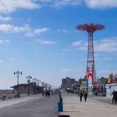
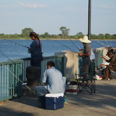
Parks and green spaces line the waterfront, giving people places to walk, fish, and watch the water up close. These areas show how much the region values access to nature despite being heavily developed.
The area is accessible from waterfront parks and promenades along both shorelines that provide public access to the water. Visit during clear weather and calmer water conditions for the best experience observing wildlife and the natural setting.
A monitoring system with underwater sensors and computer models constantly tracks conditions throughout this estuary and produces detailed forecasts. This scientific infrastructure helps detect hazards early and keeps shipping operations safer.
The community of curious travelers
AroundUs brings together thousands of curated places, local tips, and hidden gems, enriched daily by 60,000 contributors worldwide.