Chest opened
+${chestReward.xp} XP
Explorer
NOUVEAU ×${chestReward.collectible.quantity}
tapez pour fermer
Chest locked

Open chests in the app

Around Us is built for your phone — chests unlock when you walk, explore and capture nearby places.

Enable Location

We need your location to show you interesting places around you

Discover nearby places

Find interesting locations and hidden gems around you

Precise directions

Get accurate directions and distances to places

Your location is never shared with other users. It's only used when you tap the location button.

Indian Land

Log in to your account

Start exploring — it's free

Trusted by 72,884 travelers worldwide

Continue with Google
Continue with Apple
or

We will send you a code to connect

By continuing, you accept our Terms and Conditions and our Privacy Policy

Check your inbox

We've sent a pincode in your inbox. Please enter the code below.

Discussion Reviews 1 Photos
28k Popularity

Indian Land, Unincorporated community in Lancaster County, South Carolina.

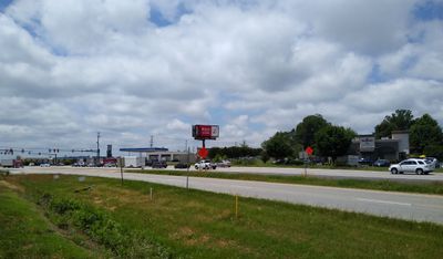
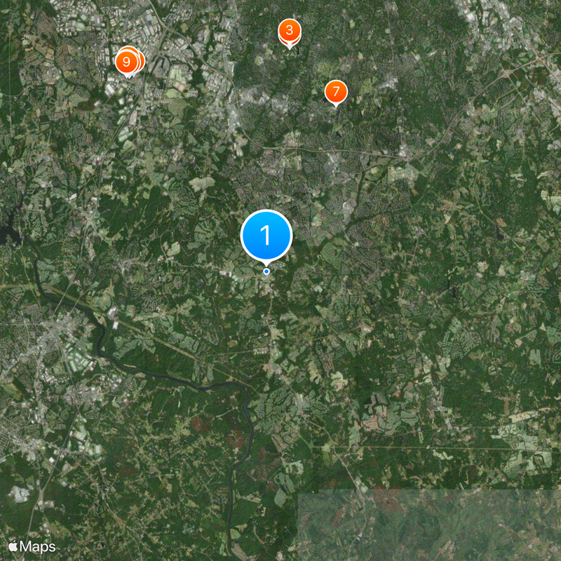
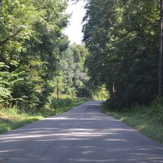
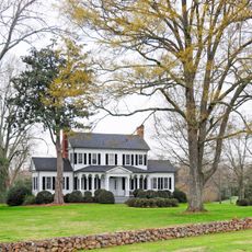
Indian Land is an unincorporated community in the northernmost part of Lancaster County, stretching across an area between Fort Mill to the west and Marvin to the east. The region is defined mainly by residential neighborhoods and rural landscapes, without a central business district.

The community held an incorporation vote in March 2018, when 83 percent of residents voted against establishing an official municipality. This decision kept the area functioning as an unincorporated community rather than adopting formal municipal governance.

The Indian Land High School earned recognition as a Red Carpet School in 2006, demonstrating the educational commitment within the community.

U.S. Highway 521 and South Carolina Highway 160 serve as the main transportation routes, connecting the area to neighboring cities and shopping districts. These roads make it easy to reach commercial services and amenities beyond the immediate community.

The area uses the ZIP code 29707 and maintains a postal identity despite lacking formal municipal status. This arrangement allows residents to have a recognizable address while avoiding the need for official administrative structures.

The community of curious travelers

AroundUs brings together thousands of curated places, local tips, and hidden gems, enriched daily by 60,000 contributors worldwide.

Start exploring
Location
GPS coordinates
35.00190,-80.85670
Latest update
December 20, 2025 13:06
Around this place
Quail Hollow Club
United States of America

Quail Hollow Club

12.6 km
Wells Fargo Championship
United States of America

Wells Fargo Championship

12.8 km
Intimidator
United States of America

Intimidator

13.3 km
Nighthawk
United States of America

Nighthawk

13.6 km
United States of America

Copperhead Strike

13.5 km
Calvary Church
United States of America

Calvary Church

10.1 km
Afterburn
United States of America

Afterburn

13.4 km
Thunder Road
United States of America

Thunder Road

13.5 km
Carolina Goldrusher
United States of America

Carolina Goldrusher

13.6 km
President James K. Polk Historic Site
United States of America

President James K. Polk Historic Site

8.8 km
Woodstock Express
United States of America

Woodstock Express

13.4 km
Nation Ford Road
United States of America

Nation Ford Road

8.7 km
Springfield Plantation House
United States of America

Springfield Plantation House

8.3 km
William Elliott White House
United States of America

William Elliott White House

8.7 km
Fort Mill Downtown Historic District
United States of America

Fort Mill Downtown Historic District

8 km
Providence Presbyterian Church and Cemetery
United States of America

Providence Presbyterian Church and Cemetery

10.8 km
Wilson House
United States of America

Wilson House

8 km
Temple Kol Ami
United States of America

Temple Kol Ami

7.5 km
National Guard Armory
United States of America

National Guard Armory

7.6 km
Mills House
United States of America

Mills House

7.9 km
Sky Zone Trampoline Park
United States of America

Sky Zone Trampoline Park

10.5 km
John M. White House
United States of America

John M. White House

8.3 km
Unity Presbyterian Church Complex
United States of America

Unity Presbyterian Church Complex

7.4 km
Banks-Mack House
United States of America

Banks-Mack House

7.4 km
Mack-Belk House
United States of America

Mack-Belk House

7.2 km
Waxhaw Historic District
United States of America

Waxhaw Historic District

13.5 km
Massey-Doby-Nisbet House
United States of America

Massey-Doby-Nisbet House

13.5 km
Thornwell-Elliott House
United States of America

Thornwell-Elliott House

7.9 km
Show the full map
Reviews
Share your experience

No review yet

Discussions
Start a discussion...

No discussion yet

« Indian Land - Unincorporated community in Lancaster County, South Carolina » is provided by Around Us (aroundus.com). Images and texts are derived from Wikimedia project under a Creative Commons license. You are allowed to copy, distribute, and modify copies of this page, under the conditions set by the license, as long as this note is clearly visible.

Discover hidden gems everywhere you go!

From secret cafés to breathtaking viewpoints, skip the crowded tourist spots and find places that match your style. Our app makes it easy with voice search, smart filtering, route optimization, and insider tips from travelers worldwide. Download now for the complete mobile experience.

Around Us App Screenshot

A unique approach to discovering new places

Le Figaro

All the places worth exploring

France Info

A tailor-made excursion in just a few clicks

20 Minutes

Around Us
Travel Guide & Maps
Download

Send to your phone

QR Code
1

Open the camera app on your mobile.

2

Point at the QR code with your camera. A notification will appear.

3

Tap the notification to open the link.