Enable Location

We need your location to show you interesting places around you

Discover nearby places

Find interesting locations and hidden gems around you

Precise directions

Get accurate directions and distances to places

Your location is never shared with other users. It's only used when you tap the location button.

Seneca Rocks

Log in to your account

Start exploring — it's free

Trusted by 60,652 travelers worldwide

Continue with Google
Continue with Apple
or

We will send you a code to connect

By continuing, you accept our Terms and Conditions and our Privacy Policy

Check your inbox

We've sent a pincode in your inbox. Please enter the code below.

Seneca Rocks

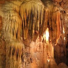
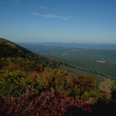
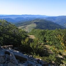
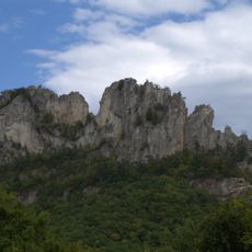
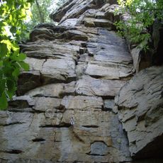
Seneca Rocks, Rock formation in Pendleton County, United States

Description

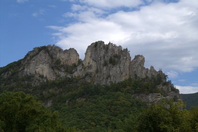
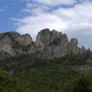
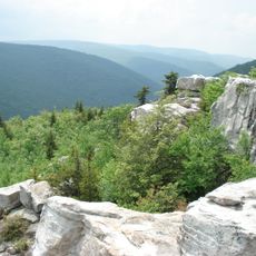
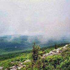
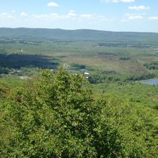
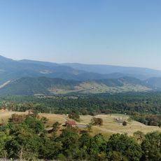
Seneca Rocks is a striking white quartzite formation in eastern West Virginia that rises about 900 feet above the river valley below. The formation features two main peaks and is crossed by numerous trails and climbing routes that make the terrain accessible to many visitors.

History

The area around the rocks was inhabited and used for centuries by Indigenous people before later becoming a known training destination. During World War II, the military trained troops here and installed extensive equipment to prepare the terrain for mountain warfare.

Culture

The rocks have long served as a gathering place where people of the region shared knowledge and stories passed down through generations. Today, this role continues as climbers and hikers from everywhere meet and exchange experiences.

Practical

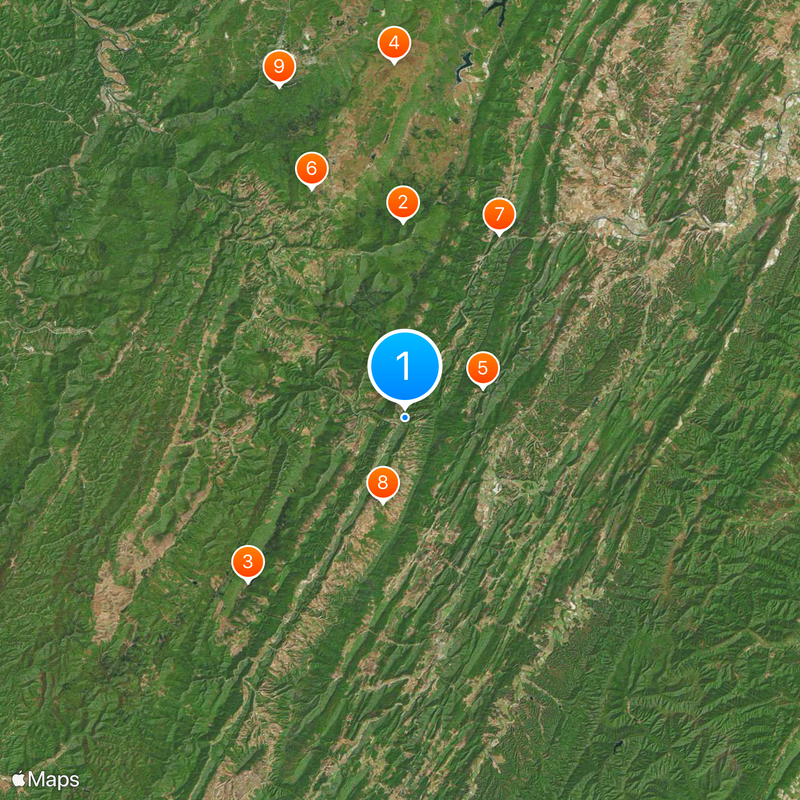
Access is available from several trailheads with free parking and information boards at the entry points. Visitors should bring sturdy footwear and water depending on the chosen route, and weather conditions can change rapidly.

Did you know?

The South Peak is the most technically demanding climbing point in this part of the country and draws experienced mountaineers from around the world. Reaching its summit requires specialized skills and equipment, setting it apart from many other destinations in the region.

Location
Elevation above the sea
594 m
GPS coordinates
38.83470,-79.36610
Latest update
December 17, 2025 09:22

AroundUs brings together thousands of curated places, local tips, and hidden gems, enriched daily by 60,000 contributors worldwide. Discover all places nearby (West Virginia).

Nature areas and historic sites in West Virginia

West Virginia brings together natural landscapes and historical places. The state features waterfalls, mountain peaks, caves and old railroad lines that invite exploration. Visitors discover national forests, battlefields from America's past and mineral springs that have drawn people for...

Around this place
Dolly Sods Wilderness
United States of America

Dolly Sods Wilderness

17.9 km
Spruce Knob
United States of America

Spruce Knob

20.9 km
Canaan Valley
United States of America

Canaan Valley

32.5 km
Smoke Hole Canyon
United States of America

Smoke Hole Canyon

7.6 km
Canaan Valley Resort State Park
United States of America

Canaan Valley Resort State Park

22.7 km
Smoke Hole Caverns
United States of America

Smoke Hole Caverns

18.9 km
Germany Valley
United States of America

Germany Valley

8 km
Elakala Falls
United States of America

Elakala Falls

32.5 km
Seneca Caverns
United States of America

Seneca Caverns

8.2 km
Bear Rocks Preserve
United States of America

Bear Rocks Preserve

27.2 km
Canaan Valley National Wildlife Refuge
United States of America

Canaan Valley National Wildlife Refuge

28.9 km
Roaring Plains West Wilderness
United States of America

Roaring Plains West Wilderness

12.9 km
Spruce Knob-Seneca Rocks National Recreation Area
United States of America

Spruce Knob-Seneca Rocks National Recreation Area

172 m
Shavers Mountain
United States of America

Shavers Mountain

27.2 km
Hermitage Motor Inn
United States of America

Hermitage Motor Inn

27.6 km
Laurel Fork North Wilderness
United States of America

Laurel Fork North Wilderness

28 km
Sites Homestead
United States of America

Sites Homestead

687 m
Old Probst Church
United States of America

Old Probst Church

28 km
Pendleton County Poor Farm
United States of America

Pendleton County Poor Farm

11.7 km
Ananias Pitsenbarger Farm
United States of America

Ananias Pitsenbarger Farm

28.9 km
Franklin Gorge
United States of America

Franklin Gorge

19.5 km
Old Judy Church
United States of America

Old Judy Church

13.3 km
United States of America

Castle Mountain

21.5 km
Grant County Courthouse
United States of America

Grant County Courthouse

27.6 km
Circleville School
United States of America

Circleville School

20.8 km
Day-Vandevander Mill
United States of America

Day-Vandevander Mill

17.3 km
McCoy House
United States of America

McCoy House

21.7 km
Hickory Hill
United States of America

Hickory Hill

31.5 km
Show the full map
« Seneca Rocks - Rock formation in Pendleton County, United States » is provided by Around Us (aroundus.com). Images and texts are derived from Wikimedia project under a Creative Commons license. You are allowed to copy, distribute, and modify copies of this page, under the conditions set by the license, as long as this note is clearly visible.

Discover hidden gems everywhere you go!

From secret cafés to breathtaking viewpoints, skip the crowded tourist spots and find places that match your style. Our app makes it easy with voice search, smart filtering, route optimization, and insider tips from travelers worldwide. Download now for the complete mobile experience.

Around Us App Screenshot

A unique approach to discovering new places

Le Figaro

All the places worth exploring

France Info

A tailor-made excursion in just a few clicks

20 Minutes

Around Us
Travel Guide & Maps
Download

Send to your phone

QR Code
1

Open the camera app on your mobile.

2

Point at the QR code with your camera. A notification will appear.

3

Tap the notification to open the link.