
Cedar Ridge, c. 1750 farmhouse listed on the NRHP in Virginia
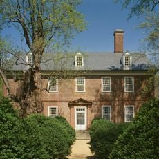
Berkeley Plantation
24.2 km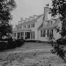
Sherwood Forest Plantation
25.1 km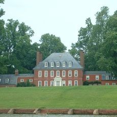
Westover Plantation
25.3 km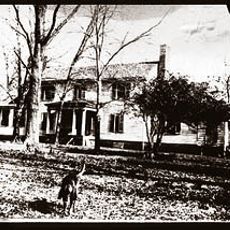
Flowerdew Hundred Plantation
20.6 km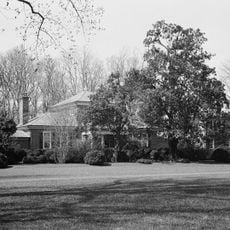
Lower Brandon Plantation
19.4 km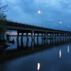
Benjamin Harrison Memorial Bridge
25.1 km
Kenner Army Health Clinic
25.1 km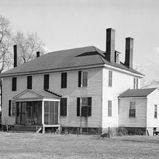
Weyanoke, Virginia
20.5 km
Evelynton
24.6 km
James River National Wildlife Refuge
17.5 km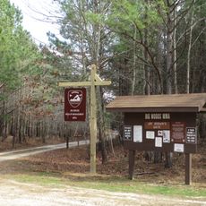
Big Woods Wildlife Management Area
20 km
Big Woods State Forest
19.5 km
Dendron Swamp Natural Area Preserve
13.5 km
Fort Powhatan
18 km
Dancing Point
22.1 km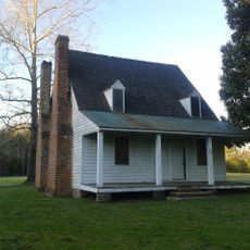
Enos House
23.5 km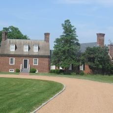
Upper Weyanoke
21.1 km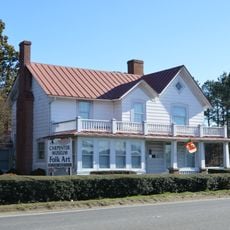
Miles B. Carpenter House
8.3 km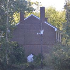
Little Town
23.5 km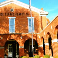
Prince George County Courthouse Historic District
19.8 km
Chester
16.6 km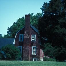
Glebe House of Southwark Parish
18.8 km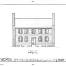
Snow Hill
6.2 km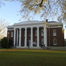
Surry County Courthouse Complex
24.8 km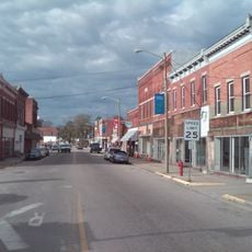
Waverly Downtown Historic District
8.9 km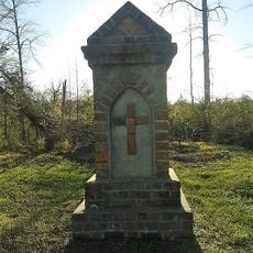
Second Southwark Church Archeological Site
20.3 km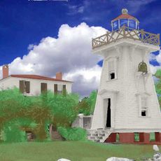
Jordan Point Light
24.5 km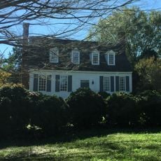
Montpelier
8.6 kmReviews
Visited this place? Tap the stars to rate it and share your experience / photos with the community! Try now! You can cancel it anytime.
Discover hidden gems everywhere you go!
From secret cafés to breathtaking viewpoints, skip the crowded tourist spots and find places that match your style. Our app makes it easy with voice search, smart filtering, route optimization, and insider tips from travelers worldwide. Download now for the complete mobile experience.

A unique approach to discovering new places❞
— Le Figaro
All the places worth exploring❞
— France Info
A tailor-made excursion in just a few clicks❞
— 20 Minutes