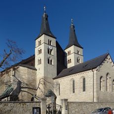
Nordhausen, Administrative district in northern Thuringia, Germany
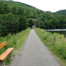
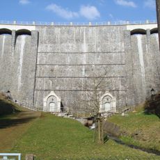
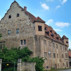
Nordhausen is a rural district in northern Thuringia covering about 713 square kilometers in the foothills south of the Harz mountains. The region combines the historic city of Nordhausen with surrounding villages and farmland, with rivers like the Zorge flowing through various parts.
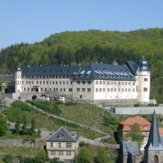
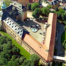
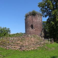
The district formed in 1815 as part of the Prussian province of Saxony when the Lohra-Clettenberg region was combined with the imperial city of Nordhausen. This merger created the administrative foundation that shaped the area for generations.
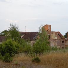
The coat of arms shows a checkered red-and-silver pattern from the old county of Hohenstein, with a tree representing renewal after destruction. These symbols reflect how local identity is tied to recovery and resilience.
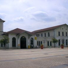
The main railway station connects the district to neighboring regions in Saxony-Anhalt and Lower Saxony for easy travel. To explore the area, plan time for visiting scattered villages and be ready for rural roads that wind through the landscape.
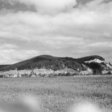
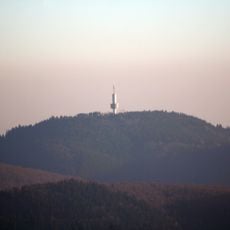
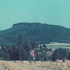
The Große Ehrenberg rises to about 635 meters and stands as one of the highest points in the region. From its peak, visitors can see across the Harz landscape for miles around.
The community of curious travelers
AroundUs brings together thousands of curated places, local tips, and hidden gems, enriched daily by 60,000 contributors worldwide.