
Hassi Tabankort, ancienne oasis d'Algérie
Location: Illizi District
Elevation above the sea: 346 m
GPS coordinates: 25.78333,7.66667
Latest update: April 25, 2025 18:31
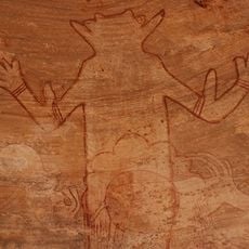
Séfar
234.1 km
Mount Tahat
351.6 km
Tomb of Tin Hinan
430 km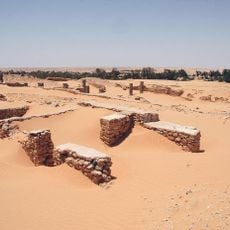
Limes Tripolitanus
517.8 km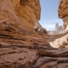
Tadrart Acacus
288.4 km
Tassili Cultural Park
162.6 km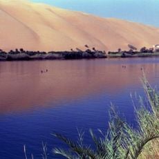
Gaberoun
596.5 km
Ahaggar Cultural Park
404.8 km
Adrar Bous
618.3 km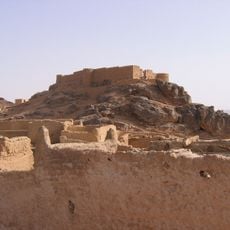
Fortress of Ghat
268.7 km
Taourirt ta-n-Afella
328.3 km
Arak gorges
395.4 km
Ghadames Museum
516.3 km
Iharen
388 km
Germa Museum
545.8 km
Idinen
265.6 km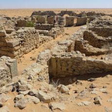
Cidamus
516.7 km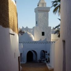
Atiq Mosque
516.5 km
Témet
652.4 km
Mafo Lake
593.5 km
Assekrem
310.4 km
Tahalra Volcanic Field
439.7 km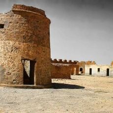
قلعة مرزق Murzuq Castil
625.6 km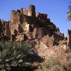
Fort of Djado
711.6 km
Al Asnam, Ghadamis
518.4 km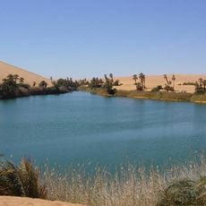
Tengerzan lake
594.9 km
Pépinière et Zoo
681 km
Wadi Mathendous
451.5 kmReviews
Visited this place? Tap the stars to rate it and share your experience / photos with the community! Try now! You can cancel it anytime.
Discover hidden gems everywhere you go!
From secret cafés to breathtaking viewpoints, skip the crowded tourist spots and find places that match your style. Our app makes it easy with voice search, smart filtering, route optimization, and insider tips from travelers worldwide. Download now for the complete mobile experience.

A unique approach to discovering new places❞
— Le Figaro
All the places worth exploring❞
— France Info
A tailor-made excursion in just a few clicks❞
— 20 Minutes