
Kotohikino Taki, Wasserfall in Japan
Location: Fukuoka Prefecture
Elevation above the sea: 220 m
GPS coordinates: 33.58250,130.90056
Latest update: April 1, 2025 19:19

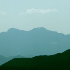
Mount Hiko
12.1 km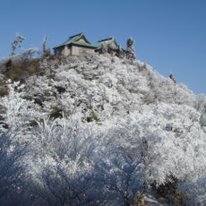
Hikosan Jingū
11.6 km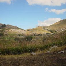
Hiraodai
20.4 km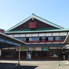
Kaho Gekijō
20.7 km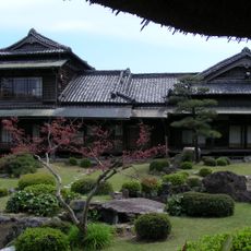
Old Ito Den-emon Residence
21.7 km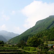
Mount Kubote
11.3 km
Mount Fukuchi
19.9 km
Tagawa City Coal Mining Historical Museum
10.3 km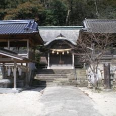
香春神社
11.2 km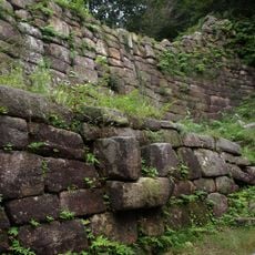
御所ヶ谷神籠石
10.6 km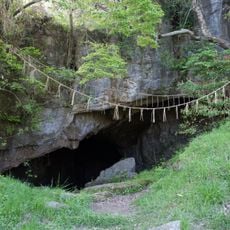
Seiryū Cave
20.5 km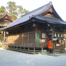
Ōtomi-jinja
18.8 km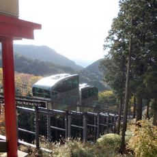
Hikosan Kaen Slope Car
11 km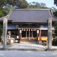
Kintomi-jinja
17.2 km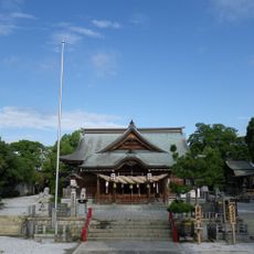
Fūji-Hachiman-gū
10.3 km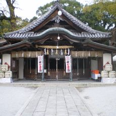
Nōso-hachimangū
21.1 km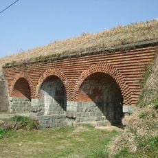
內田三連橋樑
6 km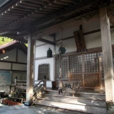
Reisen-ji
10.8 km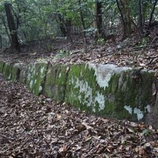
Kagenouma Kōgoishi
18.6 km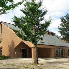
Tagawa City Museum of Art
11.1 km
Hiroki Oda Museum of Art
17.7 km
正覚院 (行橋市)
17.3 km
九州日立マクセル赤煉瓦記念館
15 km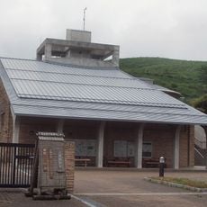
Hiraodai Nature Observation Center
19.4 km
Chikuhō Prefectural Natural Park
13.3 km
Iizuka Daiichi Gymnasium
21.8 km
Kubote Historical Museum
12 km
Yukuhashi Red Brick Building
18 kmReviews
Visited this place? Tap the stars to rate it and share your experience / photos with the community! Try now! You can cancel it anytime.
Discover hidden gems everywhere you go!
From secret cafés to breathtaking viewpoints, skip the crowded tourist spots and find places that match your style. Our app makes it easy with voice search, smart filtering, route optimization, and insider tips from travelers worldwide. Download now for the complete mobile experience.

A unique approach to discovering new places❞
— Le Figaro
All the places worth exploring❞
— France Info
A tailor-made excursion in just a few clicks❞
— 20 Minutes