Mount Hiko, Sacred mountain in Kyushu, Japan.
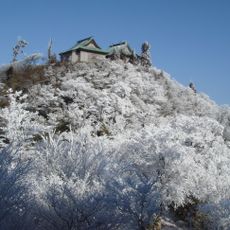
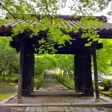
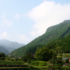
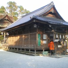
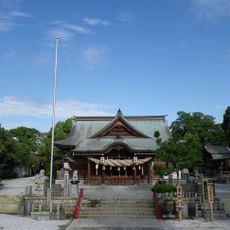
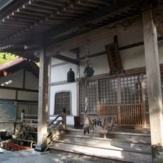
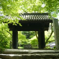
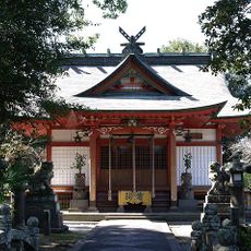
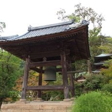
Mount Hiko is a 1,199 meter peak located between Fukuoka and Oita Prefectures and surrounded by dense forests with ancient cedar trees. A main trail connects the lower shrine areas with the summit, passing through stone staircases and multiple religious buildings along the route.
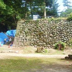
Mount Hiko appears in records from 1213, when the Hikosan Ruki listed 49 caves used by ascetics, and again in the 1572 Chinzei Hikosan Engi. In October 1581 the forces of Ōtomo Sōrin attacked the mountain and burned many temple buildings in a battle lasting over a month. Shugendō declined in the Edo period and was banned by the Meiji government in 1870; the mountain was designated a National Historic Site in 2017.
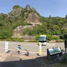
The mountain's name was written 彦山 until 1729, when the character 英 was added by order of Cloistered Emperor Reigen. Shugendō practice was banned by the Meiji government in 1870, and many chapels and temples on the slopes reverted to forest and rice fields. At the foot, the Otoko-iwa and Onna-iwa rocks face each other across the valley, joined by a giant shimenawa rope, and the Otoko-iwa Festival is held there every November.
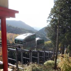
A slope car runs 849 m along the approach from beside the bronze torii at the trailhead, via Hikosan Flower Park, to the Hōhei-den at about 720 m, covering the climb in roughly 15 minutes. Above that, the path to the summit continues on foot. Bronze, stone and wooden torii mark the successive sacred zones along the main route.
The 1213 text Hikosan Ruki lists 49 caves used by ascetics on the mountain, among them Fudō, Monju and Tamaya caves; Tamaya, also called Hannya Cave, is considered the most important. In 2015 Soeda Town's lidar survey located what appear to be yamabushi settlement sites, suggesting up to 800 structures housing some 3,000 people at the mountain's height.
The community of curious travelers
AroundUs brings together thousands of curated places, local tips, and hidden gems, enriched daily by 93,162 contributors worldwide.