
Miboro Dam Side Park, 岐阜県大野郡白川村にある博物館
Location: Shirakawa
Official opening: April 2001
Website: https://jpower.co.jp/learn/facilities/miboro.html
GPS coordinates: 36.14517,136.90850
Latest update: April 18, 2025 09:30
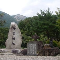
Kaerikumo Castle
7.4 km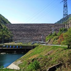
Miboro Dam
797 m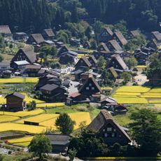
Shirakawa-gō
12.5 km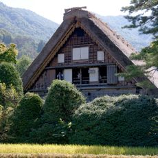
Wada House
12.8 km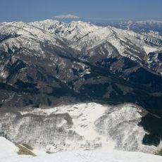
Mount Dainichi
17.2 km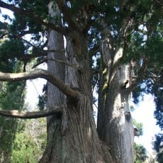
Hakusan Chūkyo Shrine
21.2 km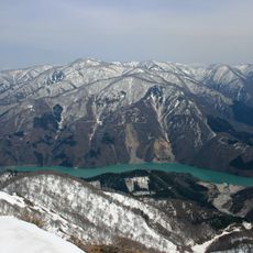
Mount Kaerikumo
8.6 km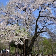
Shōkawa-zakura
8.1 km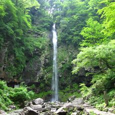
Amidaga Falls
22.2 km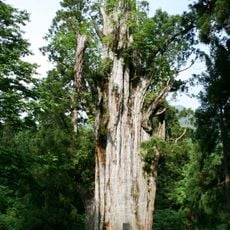
Itoshiro Cedar
18.2 km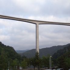
Washimi Bridge
20.7 km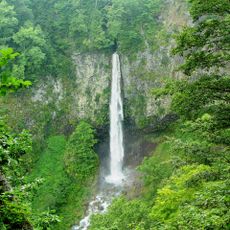
Shiramizu Falls
7.4 km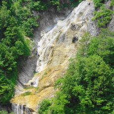
Uba Falls
15.7 km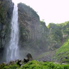
Hyakuyojō Falls
16.5 km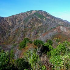
Mount Ōgasa
22.2 km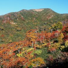
Mount Chōshigamine
15.9 km
Oshirakawa Dam
7.8 km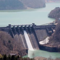
Hatogaya Dam
11.6 km
小鳥隧道
18.6 km
Ogimachi Village 2
12.2 km
Tsubawara Dam
18.6 km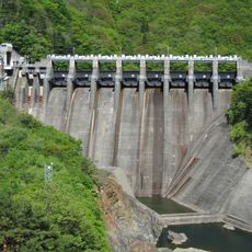
Narude Dam
23 km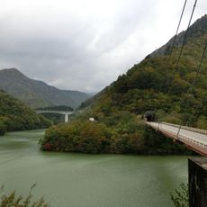
Hietsu Ōhashi Bridge
22 km
Mount Nanakura
13.8 km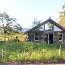
Hirugano Botanical Garden
16.3 km
Ōtazakura Tree
12.5 km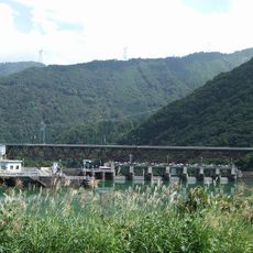
Tsubakihara Bridge
18.7 km
Mount Bessan
13.6 kmReviews
Visited this place? Tap the stars to rate it and share your experience / photos with the community! Try now! You can cancel it anytime.
Discover hidden gems everywhere you go!
From secret cafés to breathtaking viewpoints, skip the crowded tourist spots and find places that match your style. Our app makes it easy with voice search, smart filtering, route optimization, and insider tips from travelers worldwide. Download now for the complete mobile experience.

A unique approach to discovering new places❞
— Le Figaro
All the places worth exploring❞
— France Info
A tailor-made excursion in just a few clicks❞
— 20 Minutes