
Даргавське сільське поселення
Даргавське сільське поселення, human settlement in Prigorodny District, Republic of North Ossetia–Alania, Republic of North Ossetia-Alania, Russia
Location: Prigorodny District
Capital city: Dargavs
GPS coordinates: 42.83333,44.41667
Latest update: June 7, 2025 21:11

Mount Kazbek
17.3 km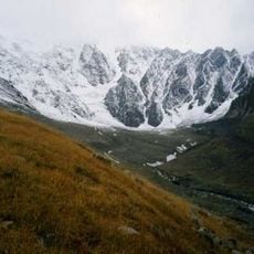
Kolka Glacier
11.4 km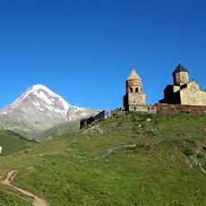
Gergeti Trinity Church
25.3 km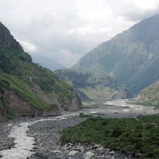
Darial Gorge
19.5 km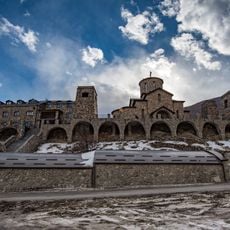
Alan Monastery of the Dormition of the Theotokos
11.4 km
Dzhimara
12.8 km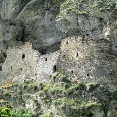
Dzivgis Cave Fortress
9.7 km
Zæjgælan
9.8 km
Ермоловский камень
19 km
Alley of Glory
28.4 km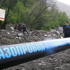
Dzuarikau–Tskhinvali pipeline
20.2 km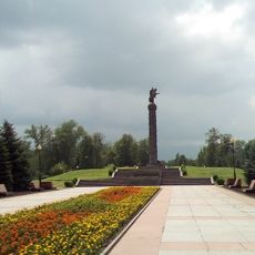
Memorial of Glory
28.2 km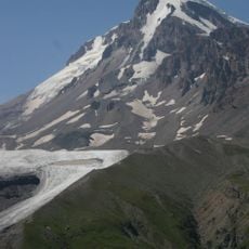
Gergeti
18.1 km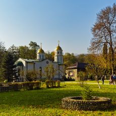
Богоявленский Аланский женский монастырь
23.9 km
Kazbegi national park
27 km
Mayli
12.2 km
Фуртоугский водопад
20.5 km
Devdaraki
16.7 km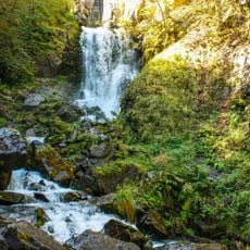
Ляжгинский водопад
25 km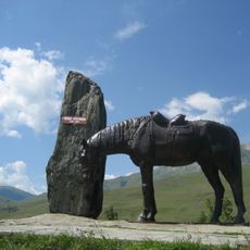
Kurtatinski Askerleri Anıtı
8.5 km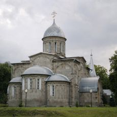
Holy Ascension Cathedral
27.8 km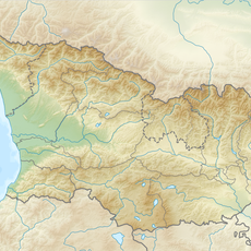
Abano Glacier
18.5 km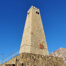
Башня Мамсуровых
2.6 km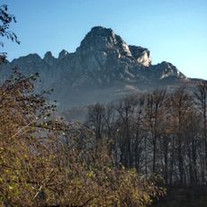
Araukhokh
15 km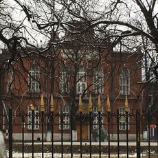
Кадетский корпус (Владикавказ)
28.5 km
Kazbegi Museum
26.7 km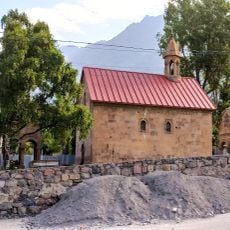
Stepantsminda Church of the Mother of God
26.6 km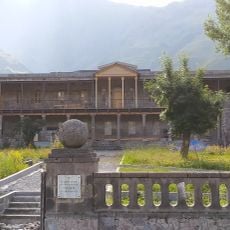
Kazbegi local lore museum
26.7 kmReviews
Visited this place? Tap the stars to rate it and share your experience / photos with the community! Try now! You can cancel it anytime.
Discover hidden gems everywhere you go!
From secret cafés to breathtaking viewpoints, skip the crowded tourist spots and find places that match your style. Our app makes it easy with voice search, smart filtering, route optimization, and insider tips from travelers worldwide. Download now for the complete mobile experience.

A unique approach to discovering new places❞
— Le Figaro
All the places worth exploring❞
— France Info
A tailor-made excursion in just a few clicks❞
— 20 Minutes