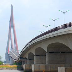
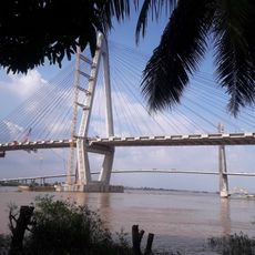
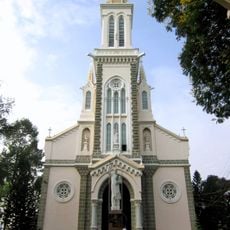
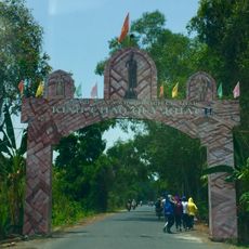
Thốt Nốt, urban district of Can Tho City
Location: Cần Thơ
Shares border with: Lai Vung
GPS coordinates: 10.26972,105.52361
Latest update: March 7, 2025 06:31
Long An
83.1 km
Mỹ Thuận Bridge
42.3 km
Cần Thơ Bridge
40.8 km
Rạch Miễu Bridge
90.2 km
Vàm Cống bridge
5.7 km
Tram Chim National Park
50.7 km
Vinh Trang Temple
93.7 km
Óc Eo
39.7 km
My Thuan 2 Bridge
42 km
U Minh Thuong National Park
90.4 km
Cao Lanh Bridge
21.2 km
Saint Philip Church
111.5 km
Gò Tháp
49.2 km
Cổ Chiên Bridge
89.8 km
Quyt Hong Lai Vung
9.3 km
Parrot's Beak, Cambodia
100.7 km
Tân Thành
7.8 km
Angkor Borei and Phnom Da
97 km
Vinh Hung tower
97.8 km
Cầu Quay
93 km
Cai Rang Bridge
38.4 km
Tan An Bridge
101.9 km
Cần Thơ Cathedral
39.4 km
Queen of Peace Cathedral, Long Xuyên
15.5 km
Long An Stadium
101.3 km
Can Tho Museum
38.9 km
Angkor Borei Museum
100.4 km
Hoi Phuoc temple
6.9 kmVisited this place? Tap the stars to rate it and share your experience / photos with the community! Try now! You can cancel it anytime.
Discover hidden gems everywhere you go!
From secret cafés to breathtaking viewpoints, skip the crowded tourist spots and find places that match your style. Our app makes it easy with voice search, smart filtering, route optimization, and insider tips from travelers worldwide. Download now for the complete mobile experience.
A unique approach to discovering new places❞
— Le Figaro
All the places worth exploring❞
— France Info
A tailor-made excursion in just a few clicks❞
— 20 Minutes