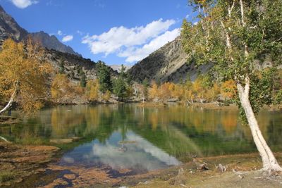
Naltar Valley, Mountain valley in Gilgit-Baltistan, Pakistan.
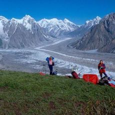
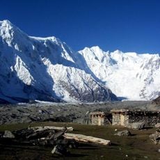
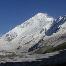
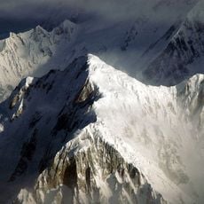
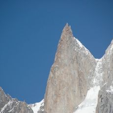
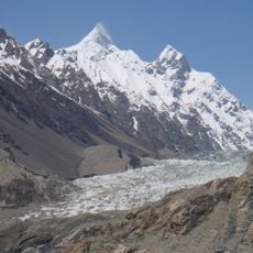
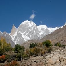
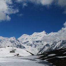
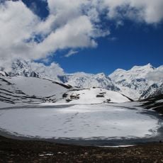
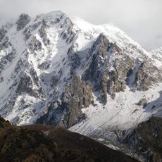
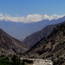
Naltar Valley is a mountain valley in Gilgit-Baltistan featuring three major lakes, forested slopes, and snow-capped peaks throughout the area. The landscape shifts between open meadows at lower elevations and thick forests that climb toward the higher summits.
The valley was designated as a wildlife sanctuary in 1975 to protect animal populations and maintain the natural balance. This protection has allowed rare species to persist in the area over the decades.
The people of the valley speak Shina and follow farming traditions that have shaped life here for generations. You can observe how locals use the land and maintain their connection to the rhythms of mountain living.
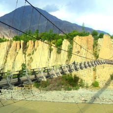
Getting here from Gilgit requires a jeep ride on unpaved roads and takes about two hours. Winter snowfall often blocks access, so planning your visit for warmer months works best.
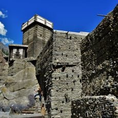
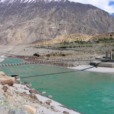
The valley has several hydropower stations that generate electricity for the region while also serving as a ski resort. This blend of power generation and winter sports creates an unusual combination in this mountain setting.
The community of curious travelers
AroundUs brings together thousands of curated places, local tips, and hidden gems, enriched daily by 60,000 contributors worldwide.