
Sierra Club Horse Camp Lodge
Location: Siskiyou County
Address: Mt Shasta, CA 96067
Website: http://sierraclubfoundation.org/what-we-fund/horse-camp-mt-shasta
GPS coordinates: 41.37226,-122.22984
Latest update: March 3, 2025 02:43

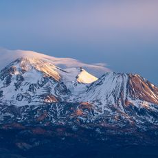
Mount Shasta
5 km
Wyntoon
24.6 km
Mossbrae Falls
14.8 km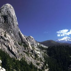
Castle Crags
23.7 km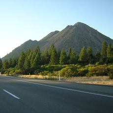
Black Butte
9.9 km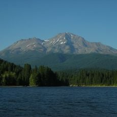
Shastina
4.1 km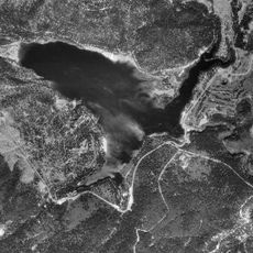
Lake Siskiyou
13.5 km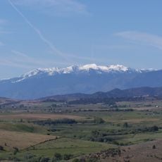
Mount Eddy
21.7 km
Mount Shasta Wilderness
5.5 km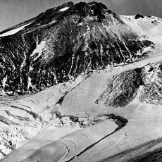
Whitney Glacier
4.9 km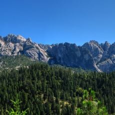
Castle Crags Wilderness
23.6 km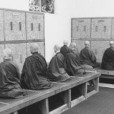
Shasta Abbey
10.6 km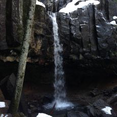
Hedge Creek Falls
15.4 km
Mount Shasta City Park
9.3 km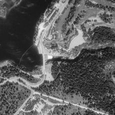
Box Canyon Dam
13.3 km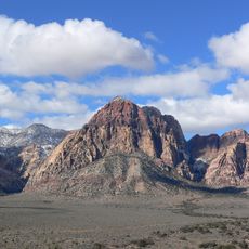
Rainbow Mountain
25.5 km
Dunsmuir Botanical Gardens
26.5 km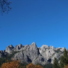
Castle Crags State Park
24.6 km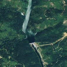
Pit 6 Dam
53.8 km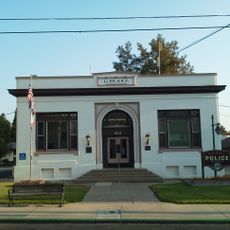
Yreka Carnegie Library
52.6 km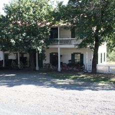
Forest House
50.7 km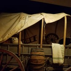
Siskiyou County Museum
51.9 km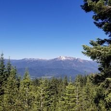
John Everitt Memorial Vista Point
4.6 km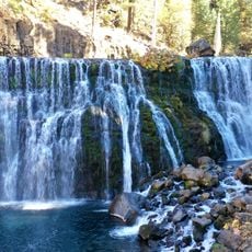
McCloud Falls (Lower, Middle, Upper)
23.4 km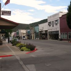
West Miner Street-Third Street Historic District
52.4 km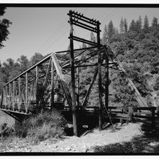
Lower Pollard Flat Bridge
45.1 km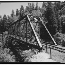
UP Sacramento River Bridge
14.7 km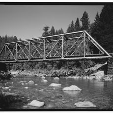
UP Sacramento River Bridge
33.8 kmVisited this place? Tap the stars to rate it and share your experience / photos with the community! Try now! You can cancel it anytime.
Discover hidden gems everywhere you go!
From secret cafés to breathtaking viewpoints, skip the crowded tourist spots and find places that match your style. Our app makes it easy with voice search, smart filtering, route optimization, and insider tips from travelers worldwide. Download now for the complete mobile experience.

A unique approach to discovering new places❞
— Le Figaro
All the places worth exploring❞
— France Info
A tailor-made excursion in just a few clicks❞
— 20 Minutes