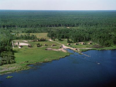
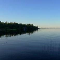
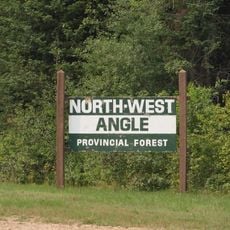
Angle Inlet, Remote village in Lake of the Woods County, United States.
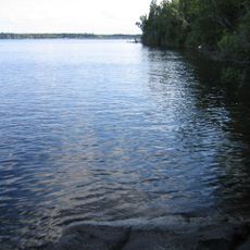
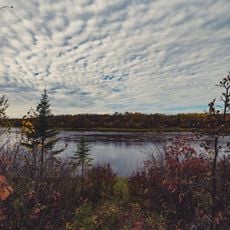
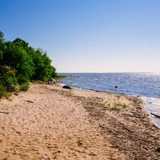
Angle Inlet is a small village at the edge of Lake of the Woods and one of the northernmost inhabited places in the contiguous United States. The settlement sits on the 49th parallel and can be reached only through Canadian territory, which underscores its isolated position.
French fur traders established Fort Saint Charles near this location in 1732, marking the first European presence in this northern territory. The fort was part of the French trading network in North America before British and later American control took over.
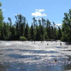
The community here maintains traditions of rural self-sufficiency through tight neighborhood bonds and reliance on local resources. Visitors experience a way of life that moves at a slower pace than most modern settlements.
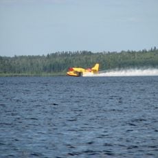
Reaching this place requires traveling through Canadian territory, which demands careful planning. Floatplanes and boats are the primary transportation options, with ice roads serving as a winter alternative.
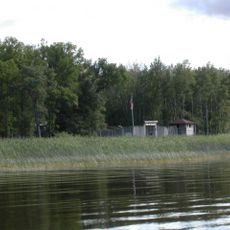
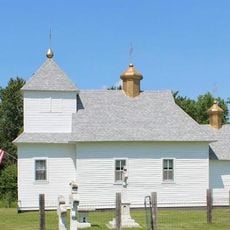
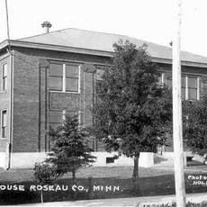
The post office here is the northernmost in the contiguous United States and serves a tiny population. Meanwhile, the community also operates a traditional one-room schoolhouse where students learn using older teaching methods.
The community of curious travelers
AroundUs brings together thousands of curated places, local tips, and hidden gems, enriched daily by 60,000 contributors worldwide.