Enable Location

We need your location to show you interesting places around you

Discover nearby places

Find interesting locations and hidden gems around you

Precise directions

Get accurate directions and distances to places

Your location is never shared with other users. It's only used when you tap the location button.

Hradčany

Log in to your account

Start exploring — it's free

Trusted by 62,934 travelers worldwide

Continue with Google
Continue with Apple
or

We will send you a code to connect

By continuing, you accept our Terms and Conditions and our Privacy Policy

Check your inbox

We've sent a pincode in your inbox. Please enter the code below.

Discussion Reviews 3 Photos
28.9k Popularity

Hradčany, Cadastral district in Prague, Czech Republic

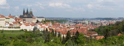
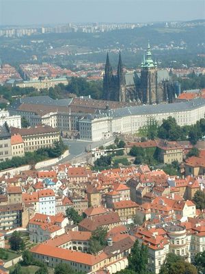
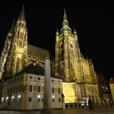
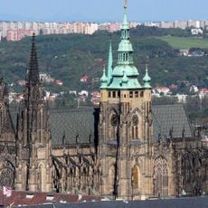
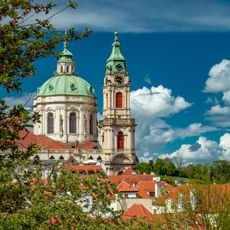
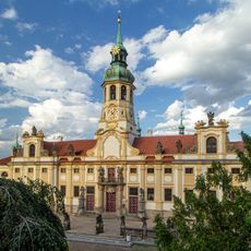
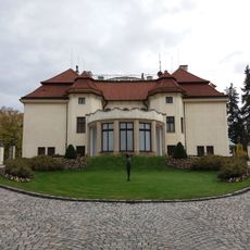
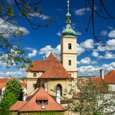
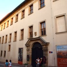
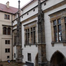
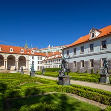
Hradčany is a neighborhood that spans parts of Prague 1 and Prague 6 districts, situated on a hill overlooking the city. The area is defined by St. Vitus Cathedral and Prague Castle, which are its primary landmarks.

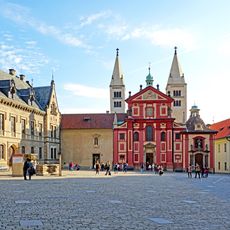
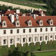
The district developed around the castle and cathedral, which formed the religious and political center of the kingdom from the 14th century onward. In the 1700s it became integrated administratively with other neighborhoods to form modern Prague's unified structure.

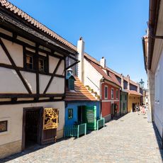
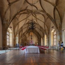
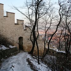
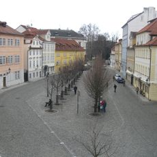
The neighborhood shapes Prague's character with its narrow lanes and traditional architecture that echo the medieval period. Visitors walk along paths that connect viewpoints and historical sites, experiencing the city's layered past through daily navigation.

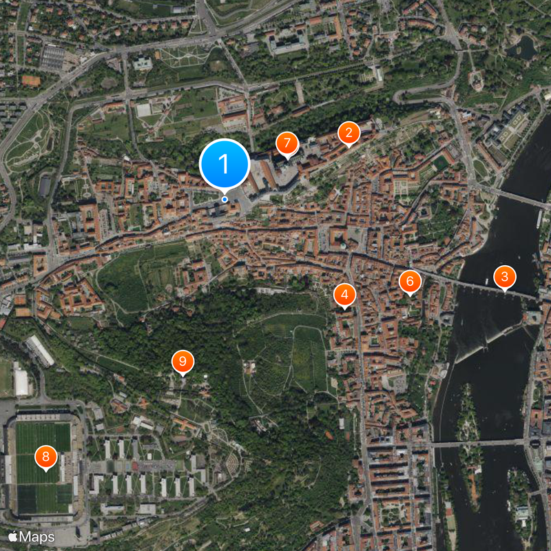
The area is easily reached by trams and buses that connect to other parts of the city. Visitors should wear sturdy shoes, as the pathways are steep and cobblestone.

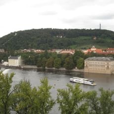
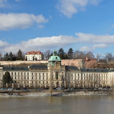
The neighborhood offers several viewpoints from which the entire city can be seen from above. These spots are freely accessible and reveal Prague's layout stretching in all directions.

The community of curious travelers

AroundUs brings together thousands of curated places, local tips, and hidden gems, enriched daily by 60,000 contributors worldwide.

Start exploring
Location
Elevation above the sea
250 m
Reference
727121
Shares border with
Dejvice, Holešovice, Malá Strana, Břevnov, Střešovice, Smíchov
GPS coordinates
50.08944,14.39722
Latest update
December 20, 2025 12:07
Reviews
Share your experience

No review yet

Discussions
Start a discussion...

No discussion yet

« Hradčany - Cadastral district in Prague, Czech Republic » is provided by Around Us (aroundus.com). Images and texts are derived from Wikimedia project under a Creative Commons license. You are allowed to copy, distribute, and modify copies of this page, under the conditions set by the license, as long as this note is clearly visible.

Discover hidden gems everywhere you go!

From secret cafés to breathtaking viewpoints, skip the crowded tourist spots and find places that match your style. Our app makes it easy with voice search, smart filtering, route optimization, and insider tips from travelers worldwide. Download now for the complete mobile experience.

Around Us App Screenshot

A unique approach to discovering new places

Le Figaro

All the places worth exploring

France Info

A tailor-made excursion in just a few clicks

20 Minutes

Around Us
Travel Guide & Maps
Download

Send to your phone

QR Code
1

Open the camera app on your mobile.

2

Point at the QR code with your camera. A notification will appear.

3

Tap the notification to open the link.