
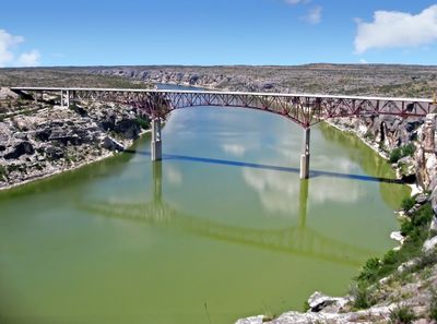
Pecos River Bridge, road bridge in Texas
Location: Val Verde County
Inception: 1957
GPS coordinates: 29.70889,-101.35167
Latest update: September 23, 2025 16:46

Amistad Reservoir
40.5 km
Fort Clark
100.8 km
Sleeping Spring Draw
129.8 km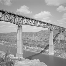
Pecos River High Bridge
24 m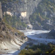
Seminole Canyon State Park and Historic Site
4.3 km
Amistad National Recreation Area
42.1 km
Fort Duncan
139.1 km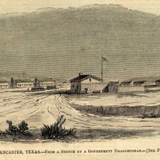
Fort Lancaster
111.6 km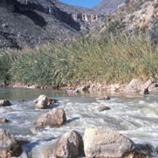
Rio Grande Wild and Scenic River
113.9 km
Eagle Pass – Piedras Negras International Bridge
138.3 km
Lake Amistad Dam International Crossing
40.5 km
Camino Real International Bridge
139.1 km
Whitehead Memorial Museum
59.3 km
Mile Canyon
22.6 km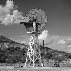
Canon Ranch Railroad Eclipse Windmill
130 km
Rio San Rodrigo
113.8 km
Martyrs of Christ the King Cathedral, Piedras Negras
137.1 km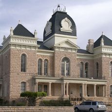
Crockett County Courthouse
112.5 km
Edwards County Courthouse and Jail
115.6 km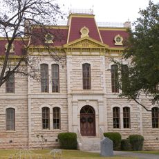
Sutton County Courthouse
117.8 km
Fate Bell Shelter
3.9 km
Lower Pecos Canyonlands Archeological District
3.9 km
Seminole Canyon District
3.9 km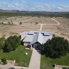
Fort Lancaster State Historic Site
111.5 km
Aztec Theatre
138.6 km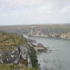
Pecos River Boat Dock
937 m
Princess Theater
111.6 km
Crockett County Jail
112.6 kmReviews
Visited this place? Tap the stars to rate it and share your experience / photos with the community! Try now! You can cancel it anytime.
Discover hidden gems everywhere you go!
From secret cafés to breathtaking viewpoints, skip the crowded tourist spots and find places that match your style. Our app makes it easy with voice search, smart filtering, route optimization, and insider tips from travelers worldwide. Download now for the complete mobile experience.

A unique approach to discovering new places❞
— Le Figaro
All the places worth exploring❞
— France Info
A tailor-made excursion in just a few clicks❞
— 20 Minutes