
Fisherman Island National Wildlife Refuge, aire protégée américaine
Location: Northampton County
Inception: 1969
Website: https://fws.gov/refuge/fisherman_island
GPS coordinates: 37.09502,-75.95951
Latest update: March 20, 2025 22:10
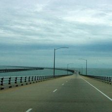
Chesapeake Bay Bridge-Tunnel
13.3 km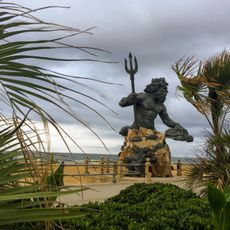
King Neptune
26.3 km
First Landing State Park
21.6 km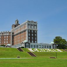
Cavalier Hotel
25.2 km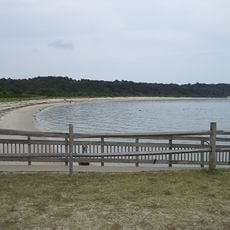
Kiptopeke State Park
8.5 km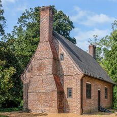
Adam Thoroughgood House
26.3 km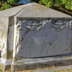
Custis Tombs
15.4 km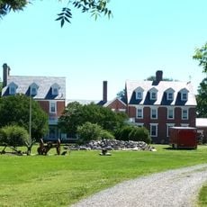
Broad Bay Manor
23.7 km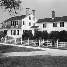
Eyre Hall
23.9 km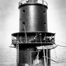
Thimble Shoal Light
26.5 km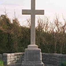
Cape Henry Memorial
19.1 km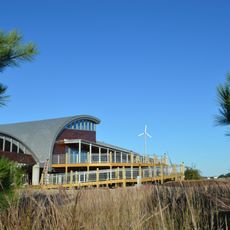
Brock Environmental Center
24.6 km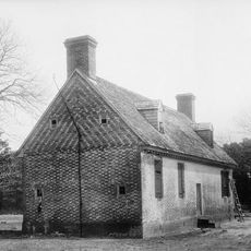
Adam Keeling House
24.1 km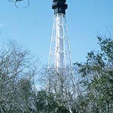
Cape Charles Light
5.6 km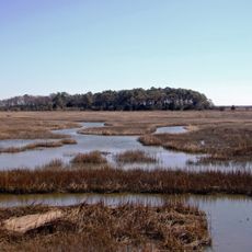
Eastern Shore of Virginia National Wildlife Refuge
3.7 km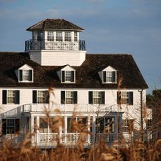
Coast Guard Station Cobb Island
22 km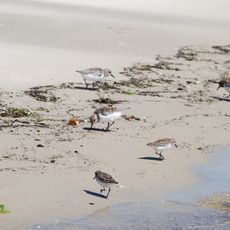
Savage Neck Dunes Natural Area Preserve
26.1 km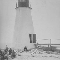
Back River Light
27.6 km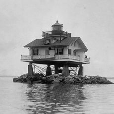
Old Plantation Flats Light
16.8 km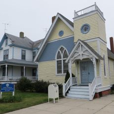
Cape Charles Historic District
20.1 km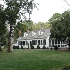
The Hermitage
27 km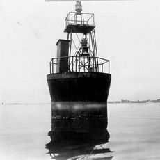
Cherrystone Bar Light
19.1 km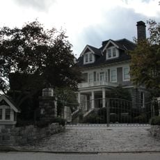
Dr. John Miller-Masury House
24.3 km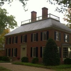
Shirley Hall
25.1 km
Briarwood
26.5 km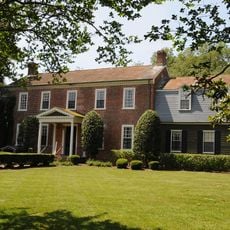
Green Hill
23.5 km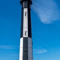
Cape Henry Light
19.2 km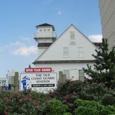
Old Coast Guard Station Museum
27 kmVisited this place? Tap the stars to rate it and share your experience / photos with the community! Try now! You can cancel it anytime.
Discover hidden gems everywhere you go!
From secret cafés to breathtaking viewpoints, skip the crowded tourist spots and find places that match your style. Our app makes it easy with voice search, smart filtering, route optimization, and insider tips from travelers worldwide. Download now for the complete mobile experience.

A unique approach to discovering new places❞
— Le Figaro
All the places worth exploring❞
— France Info
A tailor-made excursion in just a few clicks❞
— 20 Minutes