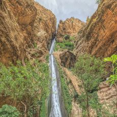
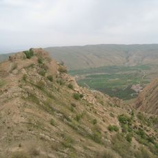
Diyala River, Major water tributary in western Iran and eastern Iraq
The Diyala River flows roughly 440 kilometers from the Zagros Mountains through varied landscapes until it joins the Tigris River near Baghdad. The waterway passes through both Iranian and Iraqi territory and serves as an important water source for irrigation and power generation.
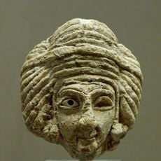
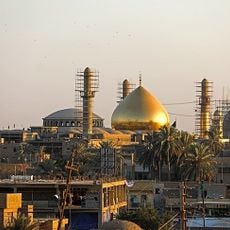
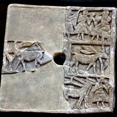
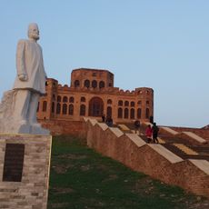
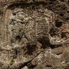
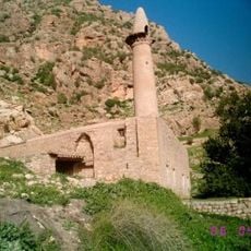
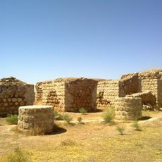
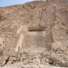
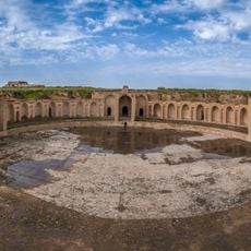
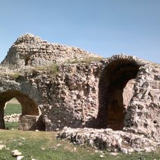
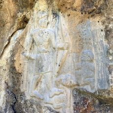
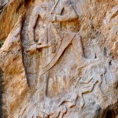
The river valley was inhabited in early dynastic times and contains archaeological sites like Eshnunna, where important historical artifacts were discovered. This region played a role in early Mesopotamian history and shows traces of human settlement spanning thousands of years.
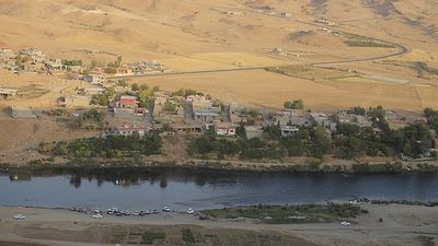
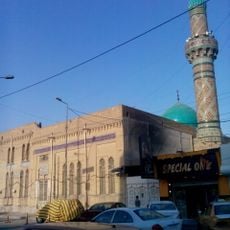
The river connects different communities across Iraq and Iran, supporting farming traditions and fishing practices passed down through generations. Local people rely on these waters for their livelihoods and maintain ways of life deeply tied to the waterway.
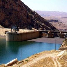
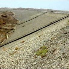
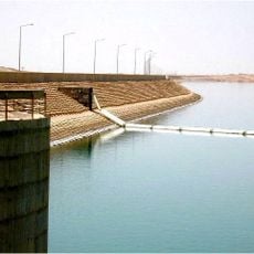
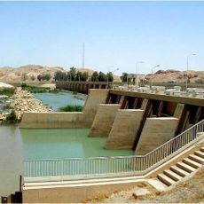
The terrain near the river can be challenging to reach depending on the season, with several dams like Darbandikhan Dam visible along the course. Visitors should check local conditions before planning trips and be careful when exploring water-related activities.
The river forms a natural border between Iran and Iraq for about 32 kilometers. This boundary section makes it a geographically important feature for understanding the regional division between the two nations.
The community of curious travelers
AroundUs brings together thousands of curated places, local tips, and hidden gems, enriched daily by 60,000 contributors worldwide.