Hemrin Dam, Embankment dam on Diyala River, Iraq
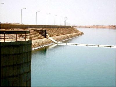
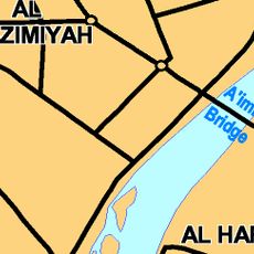
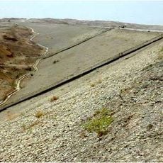
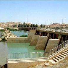
The Hemrin Dam is an embankment dam on the Diyala River in northeastern Iraq, running about 3,360 feet (1,025 m) across the valley. It controls water flow to support farming in the area and generates electricity for nearby communities.
The dam was built between 1976 and 1981 by a Yugoslav company as part of Iraq's infrastructure expansion during that period. Its completion changed how water was managed across the Diyala basin.
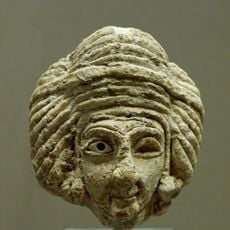
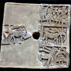
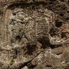
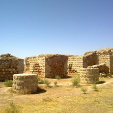
Before the dam was built, teams carried out digs at sites like Tell Madhur and Tell Rashid to recover objects before the water rose. The finds from those excavations are now part of museum collections and document early settlement in the region.
The area is easiest to reach with the help of local guides who know the terrain and current conditions. Water levels vary by season, which affects how much of the surrounding landscape can be seen from the dam.
The rescue excavations carried out before the reservoir filled are among the largest ever conducted ahead of a flooding in Iraq. Some of the objects uncovered date back to early Bronze Age settlements, offering a rare window into the distant past of the Diyala valley.
The community of curious travelers
AroundUs brings together thousands of curated places, local tips, and hidden gems, enriched daily by 60,000 contributors worldwide.