Wakhan, Mountain passage in northeastern Afghanistan
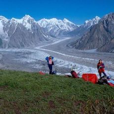
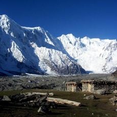
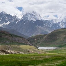
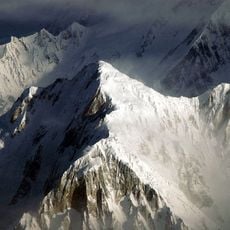
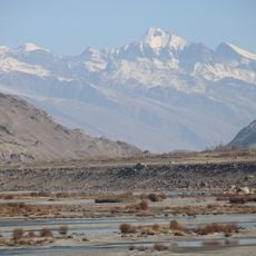
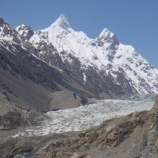
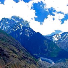
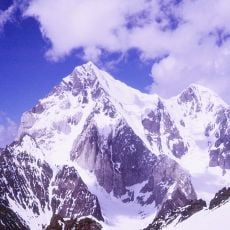
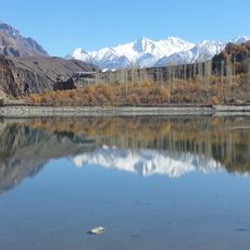
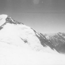
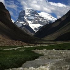
Wakhan is a narrow strip of land in northeastern Afghanistan that extends eastward between neighboring countries. High mountain ridges run through the entire region, creating a rugged terrain with steep valleys and passes.
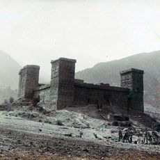
The corridor was created in the 1890s as a buffer between two major powers competing for control in Central Asia. This deliberate boundary arrangement has shaped the region's geography and isolation since that period.
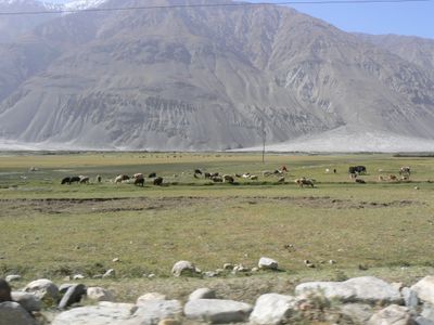
The corridor is home to communities with deep roots in mountain living and pastoral traditions. Local herds move through high valleys following seasonal patterns that have shaped life here for generations.
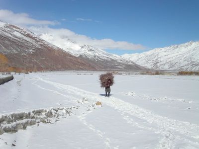
Access to the region is difficult and heavily affected by severe mountain weather and seasonal snow. Visitors need flexibility in planning and should check local conditions before attempting any travel through the passes.
The area contains the sources of major rivers that supply water to vast regions of Central and South Asia. This hydrological importance makes it a critical location for water systems that extend far beyond the corridor itself.
Location: ولایت بدخشان
Shares border with: Chitral District
Address: Wakhan, Afghanistan
GPS coordinates: 37.12924,73.61868
Latest update: December 20, 2025 15:31
Tajikistan is a land of dramatic contrasts shaped by towering mountains and deep river valleys. The country sits at the crossroads of Central Asia, where ancient trade routes once connected empires and cultures. Today, visitors find themselves in a landscape dominated by peaks that reach beyond 5000...
Noshaq
177.3 km
Ultar
125.4 km
Batura Glacier
113.3 km
Batura Sar
106 km
Shispare
121.9 km
Broghil Valley National Park
109.2 km
Sangemarmar Sar
114.8 km
Passu Sar
115.8 km
Karl Marx Peak
101 kmWakhan National Park
122.9 km
Istor-o-Nal
174.8 km
Saraghrar
148.8 km
Passu Glacier
126.1 km
Koyo Zom
55.8 km
Buni Zom
158.4 kmKarka
52.3 kmConcord Peak
27.2 km
Khalti Lake
100.6 km
Udren Zom
159.7 kmLunkho e Dosare
112 km
Engels Peak
97.7 kmHandarap Lake
129.7 km
Mastuj Fort
135.6 kmVrevsky glacier
76.2 kmSakar Sar
61.3 km
Bojohagur Duanasir
123.3 kmZorkul Nature Reserve
35.8 kmPatkhor Peak
152 kmVisited this place? Tap the stars to rate it and share your experience / photos with the community! Try now! You can cancel it anytime.
Discover hidden gems everywhere you go!
From secret cafés to breathtaking viewpoints, skip the crowded tourist spots and find places that match your style. Our app makes it easy with voice search, smart filtering, route optimization, and insider tips from travelers worldwide. Download now for the complete mobile experience.
A unique approach to discovering new places❞
— Le Figaro
All the places worth exploring❞
— France Info
A tailor-made excursion in just a few clicks❞
— 20 Minutes