·

Enable Location

We need your location to show you interesting places around you

Discover nearby places

Find interesting locations and hidden gems around you

Precise directions

Get accurate directions and distances to places

Your location is never shared with other users. It's only used when you tap the location button.

Istor-o-Nal

Log in to your account

Start exploring — it's free

Trusted by 62,629 travelers worldwide

Continue with Google
Continue with Apple
or

We will send you a code to connect

By continuing, you accept our Terms and Conditions and our Privacy Policy

Check your inbox

We've sent a pincode in your inbox. Please enter the code below.

Istor-o-Nal

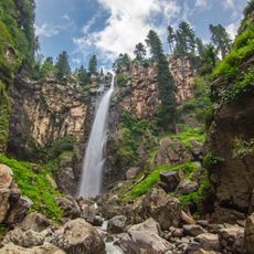
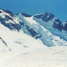
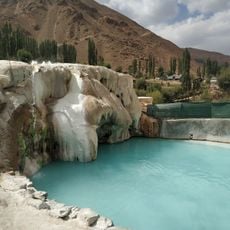
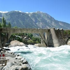
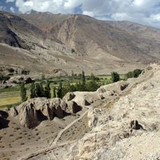
Istor-o-Nal, Mountain summit in Upper Chitral District, Pakistan.

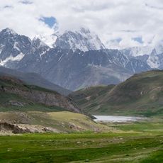
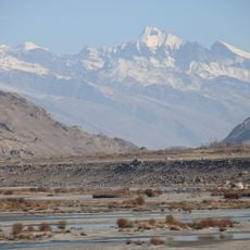
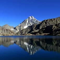
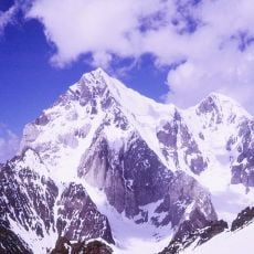
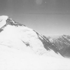
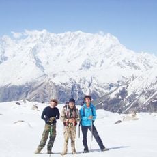
Istor-o-Nal is a mountain summit reaching 7,403 meters in the Hindu Kush range, positioned northeast of Tirich Mir. The peak forms part of a larger cluster of high mountains in the area near Shagrom village.

The first ascent took place on June 8, 1955, when Americans Joseph Murphy and Thomas Mutch, along with Pakistani Major Ken Bankwala, climbed the west ridge to the summit. This climb marked an important moment in exploring the high mountain region.

The name comes from the Chitrali language, where Istor means horse and reflects the local way of speaking in the region. Visitors notice this connection to local culture when locals explain the mountain's name and its meaning.

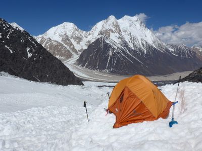
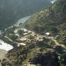
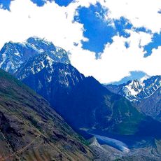
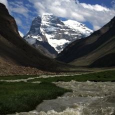
The best climbing season runs from June through September when weather conditions are most favorable for mountaineering. Access begins from Shagrom village, which serves as the starting point for expeditions.

The mountain is part of a massive formation containing eleven peaks above 7,000 meters, with two summits never climbed. The unclimbed North East Peak and East Peak remain untouched, attracting mountaineers seeking new challenges.

The community of curious travelers

AroundUs brings together thousands of curated places, local tips, and hidden gems, enriched daily by 60,000 contributors worldwide.

Start exploring
Location
Upper Chitral District
Elevation above the sea
7,403 m
GPS coordinates
36.37729,71.89751
Latest update
December 11, 2025 11:05
« Istor-o-Nal - Mountain summit in Upper Chitral District, Pakistan » is provided by Around Us (aroundus.com). Images and texts are derived from Wikimedia project under a Creative Commons license. You are allowed to copy, distribute, and modify copies of this page, under the conditions set by the license, as long as this note is clearly visible.

Discover hidden gems everywhere you go!

From secret cafés to breathtaking viewpoints, skip the crowded tourist spots and find places that match your style. Our app makes it easy with voice search, smart filtering, route optimization, and insider tips from travelers worldwide. Download now for the complete mobile experience.

Around Us App Screenshot

A unique approach to discovering new places

Le Figaro

All the places worth exploring

France Info

A tailor-made excursion in just a few clicks

20 Minutes

Around Us
Travel Guide & Maps
Download

Send to your phone

QR Code
1

Open the camera app on your mobile.

2

Point at the QR code with your camera. A notification will appear.

3

Tap the notification to open the link.