
Nad Ali District, district of Afghanistan
Location: Helmand
Elevation above the sea: 831 m
GPS coordinates: 31.57806,63.79083
Latest update: March 4, 2025 21:33


Minaret of Jam
321 km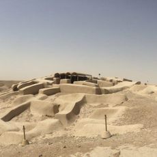
Shahr-e Sukhteh
259.2 km
Shrine of the Cloak
181.8 km
Kandahar Bilingual Rock Inscription
177.6 km
Camp Rhino
140.3 km
Mundigak
168.1 km
Tarnak Farms
193.4 km
Mount Khajeh
252.3 km
Tomb of Ahmad Shah Durrani
181.9 km
Main Operating Base Price
77.4 km
Chil Zena
177.6 km
Forward Operating Base Edinburgh
43.3 km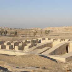
Dahan-e Gholaman
223.1 km
Mosque of the Hair of the Prophet
182 km
Farah Citadel
182.1 km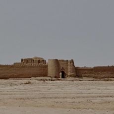
Rostam Castle
267.9 km
Lashkar Gah Mosque
55 km
Paropamisus
326 km
Forward Operating Base Shawqat
43.3 km
Forward Operating Base Zeebrugge
113.9 km
Forward Operating Base Arnhem
56.2 km
Qalat City Fort
300.7 km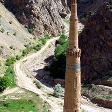
Minaret and Archaeological Remains of Jam
321 km
Ḩowẕ Bal-e Kam Āb
282.6 km
Shūrak
325.4 km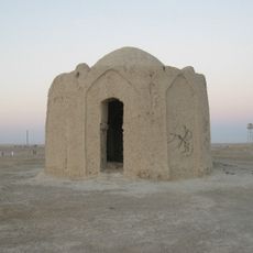
Vermal Fire Temple
252.6 km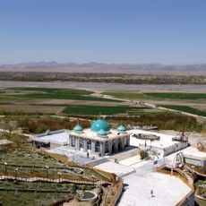
Mausoleum of Baba Wali
177 km
Machi Windmill
265.8 kmReviews
Visited this place? Tap the stars to rate it and share your experience / photos with the community! Try now! You can cancel it anytime.
Discover hidden gems everywhere you go!
From secret cafés to breathtaking viewpoints, skip the crowded tourist spots and find places that match your style. Our app makes it easy with voice search, smart filtering, route optimization, and insider tips from travelers worldwide. Download now for the complete mobile experience.

A unique approach to discovering new places❞
— Le Figaro
All the places worth exploring❞
— France Info
A tailor-made excursion in just a few clicks❞
— 20 Minutes