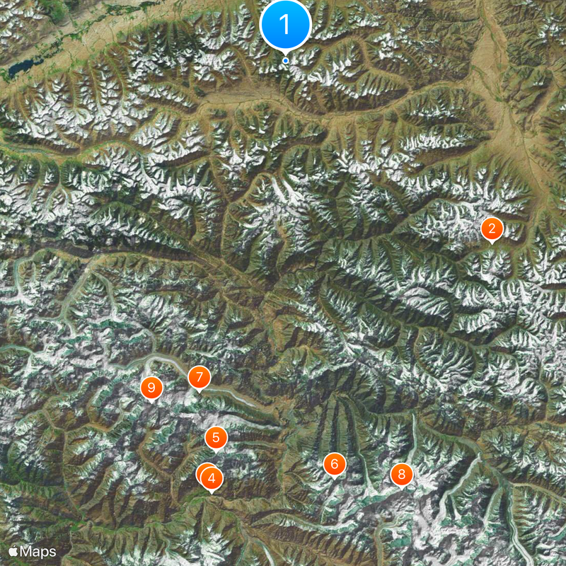
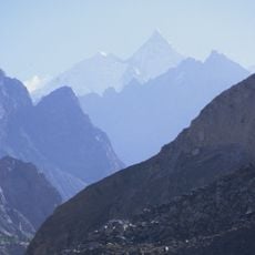
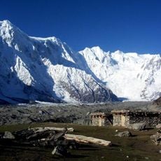
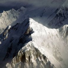
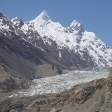
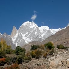
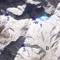
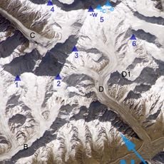
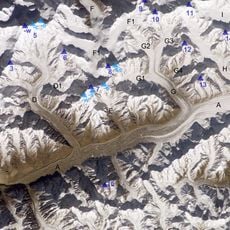
Afghanistan–China border, International border in Wakhan Corridor, Afghanistan.
The Afghanistan-China border runs roughly 92 kilometers through the high mountains of the Wakhan Corridor. It meets the tripoint with Pakistan and ends where Tajikistan begins.
The boundary agreement between Afghanistan and China was set in 1895 through negotiations involving Britain and Russia. Final marking of the line happened in 1963 when both nations confirmed their positions.
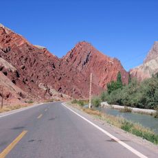
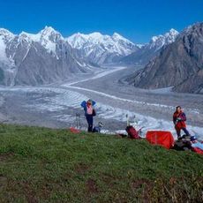
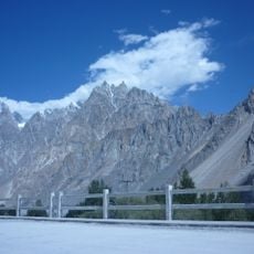
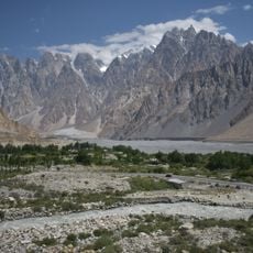
The Wakhjir Pass along this border served as a passage for merchants and travelers of the Silk Road, including the Chinese Buddhist monk Xuanzang in 649 CE.
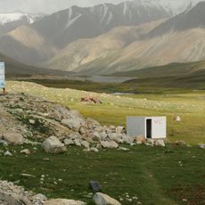
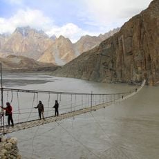
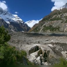
The closest road on the Afghan side reaches Sarhad-e Wakhan, while the Chinese side connects to a military route in the mountains. This area is extremely remote and inaccessible to regular visitors.
This border marks an unusual time zone difference between adjacent countries: Afghanistan uses UTC+4:30 while China uses UTC+8:00. The gap of three and a half hours is the largest anywhere between neighboring territories.
The community of curious travelers
AroundUs brings together thousands of curated places, local tips, and hidden gems, enriched daily by 60,000 contributors worldwide.