
Charbolak, district of Balkh, Afghanistan
Location: Balkh
Capital city: Charbolak
Elevation above the sea: 309 m
GPS coordinates: 36.83333,66.63944
Latest update: June 4, 2025 02:33

Blue Mosque
44.3 km
Qosh Tepa Canal
104.7 km
Band-e Amir National Park
228.3 km
Tillya Tepe
77.3 km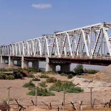
Afghanistan–Uzbekistan Friendship Bridge
82.7 km
Qala-i-Jangi
35.8 km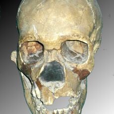
Teshik-Tash
134.1 km
Surkh Kotal
193.3 km
Tigrovaya Balka Nature Reserve
171.7 km
Takht-e Rostam
139.9 km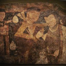
Balalyk Tepe
81.2 km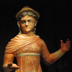
Khalchayan
201 km
Haji Piyada
27 km
Green Mosque
24.4 km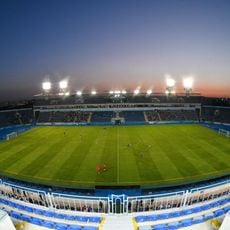
Markaziy Stadium
234.7 km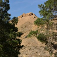
Tavka Kurgan
103.4 km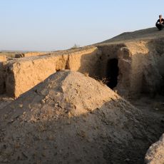
Kara Tepe
69.1 km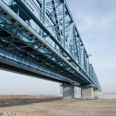
Atamurat-Kerkichi Bridge
167.9 km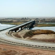
Tajikistan–Afghanistan bridge at Panji Poyon
179.3 km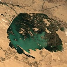
Zeid reservoir
139.5 km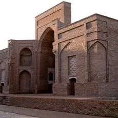
Sultan Saodat
76.4 km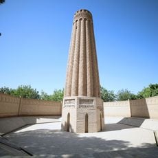
Jarkurgan minaret
98.2 km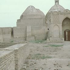
Astana-Baba-Mausoleum
180.5 km
Zadian Minaret
34.4 km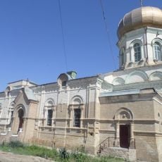
Alexander Nevsky Church in Termiz
92.2 km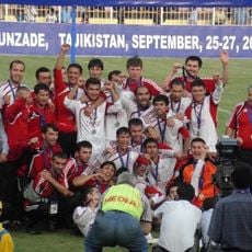
Stadium Metallurg 1st District
233.3 km
Aq Köprük
88 km
Zurmala Stupa
60.4 kmReviews
Visited this place? Tap the stars to rate it and share your experience / photos with the community! Try now! You can cancel it anytime.
Discover hidden gems everywhere you go!
From secret cafés to breathtaking viewpoints, skip the crowded tourist spots and find places that match your style. Our app makes it easy with voice search, smart filtering, route optimization, and insider tips from travelers worldwide. Download now for the complete mobile experience.

A unique approach to discovering new places❞
— Le Figaro
All the places worth exploring❞
— France Info
A tailor-made excursion in just a few clicks❞
— 20 Minutes