·

Enable Location

We need your location to show you interesting places around you

Discover nearby places

Find interesting locations and hidden gems around you

Precise directions

Get accurate directions and distances to places

Your location is never shared with other users. It's only used when you tap the location button.

Monte Balmaceda

Log in to your account

Start exploring — it's free

Trusted by 62,647 travelers worldwide

Continue with Google
Continue with Apple
or

We will send you a code to connect

By continuing, you accept our Terms and Conditions and our Privacy Policy

Check your inbox

We've sent a pincode in your inbox. Please enter the code below.

Monte Balmaceda

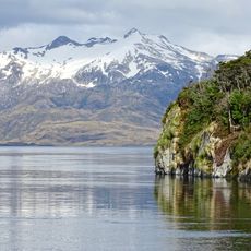
Monte Balmaceda, Mountain peak in Magallanes Region, Chile.

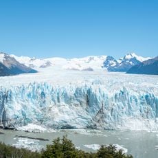
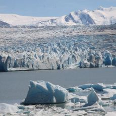
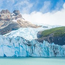
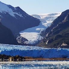
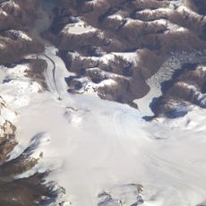
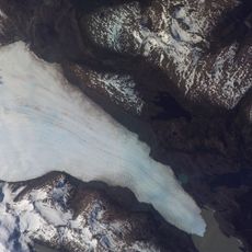
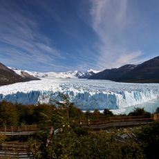
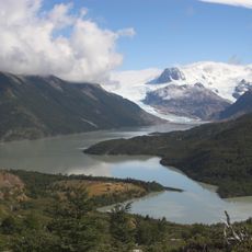
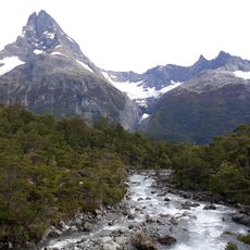
Monte Balmaceda is a mountain peak in the Magallanes Region that rises to approximately 2,035 meters and hosts the Balmaceda and Serrano glaciers. These glaciers cover large portions of the mountainsides and are visible from boats departing Puerto Natales.

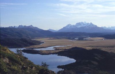
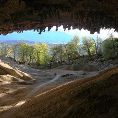
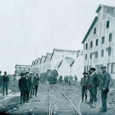
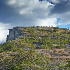
The mountain lies within Bernardo O'Higgins National Park and is named after Chile's leader during the early years after independence. Its landscape has been shaped by glacial movements over thousands of years.

The mountain serves as a landmark that shapes how locals and visitors perceive this remote corner of South America. Its position helps people navigate and understand the geography of the region.

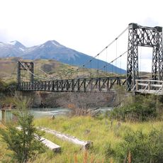
The best way to see the mountain is by taking a boat tour from Puerto Natales, which can be arranged locally. Visitors should bring warm clothing since the weather changes quickly and wind is common in this area.

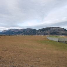
The mountain marks where massive ice sheets meet the sea, creating a rare boundary between frozen and liquid water. This makes it a notable spot at the edge of Última Esperanza Sound.

The community of curious travelers

AroundUs brings together thousands of curated places, local tips, and hidden gems, enriched daily by 60,000 contributors worldwide.

Start exploring
Location
Elevation above the sea
2,035 m
GPS coordinates
-51.41495,-73.19783
Latest update
December 6, 2025 17:47
Natural landscapes of Patagonia

Patagonia extends across the southern reaches of Chile and Argentina, encompassing a range of natural landscapes from active glaciers to volcanic peaks. The region presents a mixture of ice, stone and water, with national parks protecting thousands of square miles of undeveloped terrain. The land...

« Monte Balmaceda - Mountain peak in Magallanes Region, Chile » is provided by Around Us (aroundus.com). Images and texts are derived from Wikimedia project under a Creative Commons license. You are allowed to copy, distribute, and modify copies of this page, under the conditions set by the license, as long as this note is clearly visible.

Discover hidden gems everywhere you go!

From secret cafés to breathtaking viewpoints, skip the crowded tourist spots and find places that match your style. Our app makes it easy with voice search, smart filtering, route optimization, and insider tips from travelers worldwide. Download now for the complete mobile experience.

Around Us App Screenshot

A unique approach to discovering new places

Le Figaro

All the places worth exploring

France Info

A tailor-made excursion in just a few clicks

20 Minutes

Around Us
Travel Guide & Maps
Download

Send to your phone

QR Code
1

Open the camera app on your mobile.

2

Point at the QR code with your camera. A notification will appear.

3

Tap the notification to open the link.