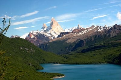
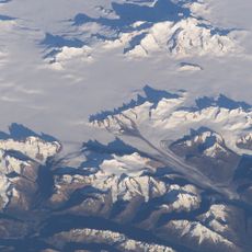
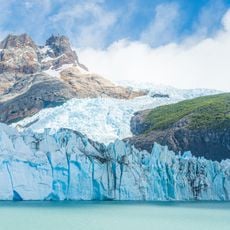
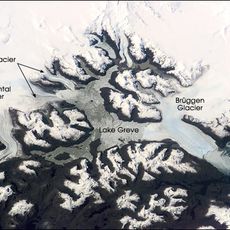
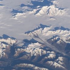
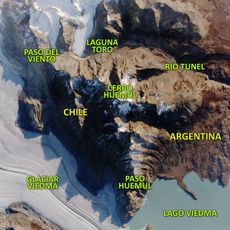
Desert Lake, Lagoon in Lago Argentino Department, Argentina
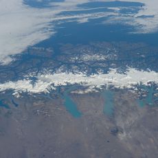
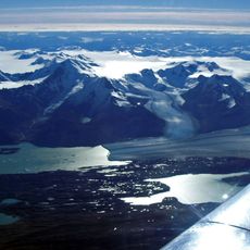
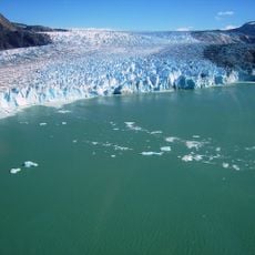
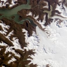
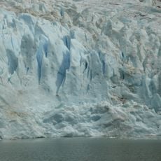
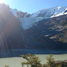
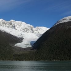
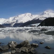
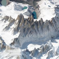
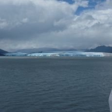
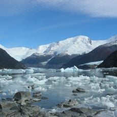
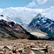
Desert Lake sits at 505 meters elevation in Santa Cruz Province and collects water from multiple glaciers before flowing into Las Vueltas River. The water body is fed by glacial streams throughout the year and surrounded by steep mountain terrain.
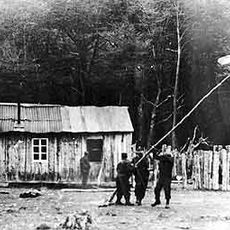
The territory around this lake became the focus of an international dispute between Argentina and Chile in 1965, resulting in military clashes. This conflict shaped how the region is governed and understood today.
The area around this lake holds deep connections to indigenous communities whose knowledge of the land and its resources remains visible in how the region is cared for today. Visitors can sense this heritage through the way the landscape is treated and used.
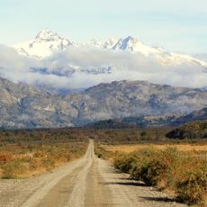
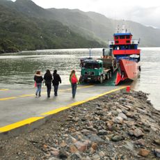
The lake is accessible only by four-wheel-drive vehicle, as roads remain unpaved and conditions shift with the seasons. Visitors should prepare for rough driving conditions and check local weather patterns before arriving.
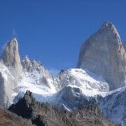
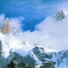
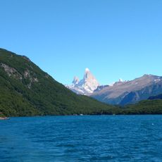
The lake sits near Monte Fitz Roy, where large Andean condors can be spotted soaring above the water and peaks. These enormous birds are among Earth's largest flying creatures and often ride the mountain winds in this area.
The community of curious travelers
AroundUs brings together thousands of curated places, local tips, and hidden gems, enriched daily by 60,000 contributors worldwide.