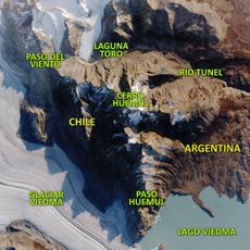
O'Higgins/San Martín Lake, Glacial lake in Santa Cruz Province, Argentina and Aysén Region, Chile
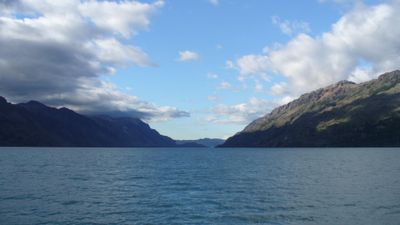
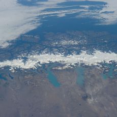
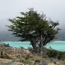
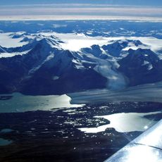
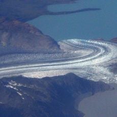
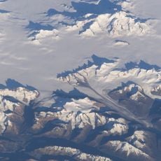
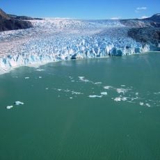
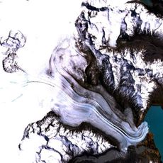
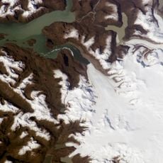
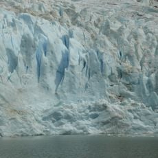
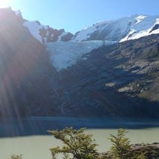
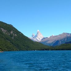
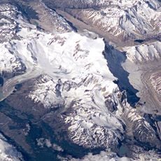
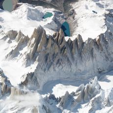
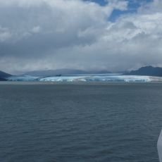
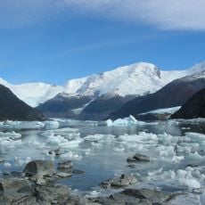
O'Higgins/San Martín Lake spreads across approximately 1,000 square kilometers between Argentina and Chile, displaying its characteristic milky light-blue waters created by fine rock particles. The water gains this distinctive color from glacial melt that continuously feeds sediment into the lake.
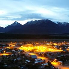
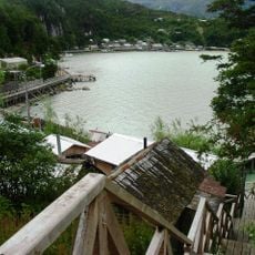
British, Scandinavian, and Swiss settlers established sheep farming communities near the lake in the early 1900s, shaping the region's development. These pioneer settlements created the foundation for today's communities in southern Patagonia.
The lake bears the names of two independence leaders: José de San Martín from Argentina and Bernardo O'Higgins from Chile, whose legacies connect across this binational region. Local communities tie their identity to this shared history that links both nations together.
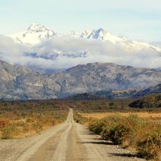
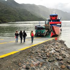
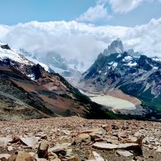
The lake is accessible by car heading south from Puerto Aysén on Route 7 through Cochrane, then continuing on Route X-72 where multiple viewpoints can be visited. Weather in this region is unpredictable with frequent rain and wind, so visitors should prepare with appropriate clothing.
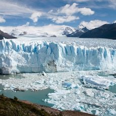
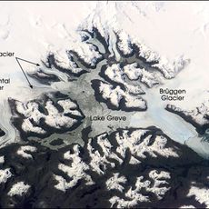
At approximately 836 meters deep, this is the deepest freshwater lake in the Americas and receives water from two major glaciers that continuously feed meltwater into it. This exceptional depth allows the lake to maintain specific temperatures and support an unusual ecosystem that few visitors know about.
The community of curious travelers
AroundUs brings together thousands of curated places, local tips, and hidden gems, enriched daily by 60,000 contributors worldwide.