Futaleufú, Town in Los Lagos Region, Chile
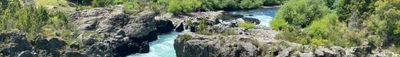
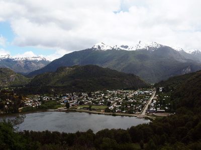
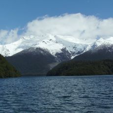
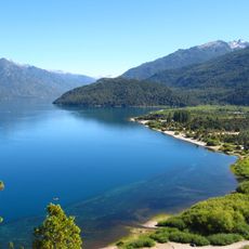
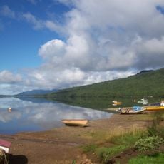
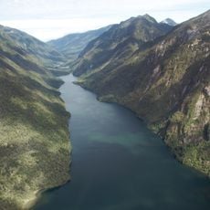
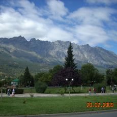
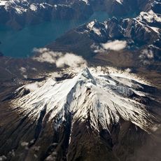
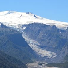
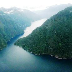
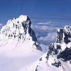
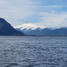
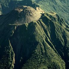
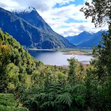
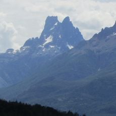
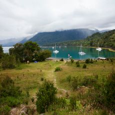
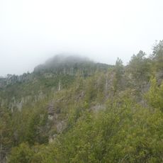
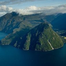
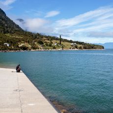
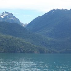
Futaleufú is a small town located in Chilean Patagonia at an elevation of 1,157 feet (353 meters), surrounded by the Andes mountains and positioned near the turquoise Futaleufú River that flows through deep valleys and forested landscapes.
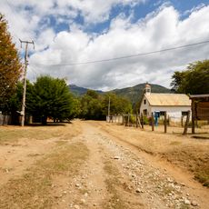
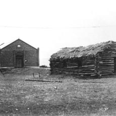
Futaleufú was established around 1929 as a frontier settlement and has since developed from a livestock farming and forestry community into a well-known destination for adventure tourism centered on its world-class whitewater river.
The town's name derives from the Mapuche language Mapudungun, meaning Big River, reflecting the indigenous heritage of the region and the cultural connection between local communities and the prominent waterway that defines daily life here.
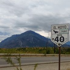
Visitors can reach Futaleufú by bus from Chaitén or Puerto Montt, with travel times ranging from 3 to 12 hours, or by flying into nearby airports in Esquel or Bariloche in Argentina before crossing the border by road.
Futaleufú River is internationally recognized as one of the top three destinations for whitewater kayaking and rafting, featuring class IV and V rapids that attract outdoor enthusiasts from around the world seeking challenging water sports experiences.
Location: Futaleufú
Inception: 1929
Elevation above the sea: 353 m
Website: https://futaleufu.cl
GPS coordinates: -43.18580,-71.86670
Latest update: November 28, 2025 12:45
The territories of Chile stretch from the Atacama Desert to Patagonia, featuring national parks, historic cities, lakes, and islands. The country has active volcanoes, glaciers, fjords, geysers, ancient forests, and deserts. UNESCO sites include Valparaíso, the Churches of Chiloé, Easter Island with its moai, and the mining towns of Humberstone and Sewell.
Los Alerces National Park
42.2 km
Chaitén
74.5 km
Lago Puelo National Park
112.6 km
Puyuhuapi
138.5 km
Pumalín Park
84.4 km
Esquel (meteorite)
53.8 km
Cerro Piltriquitrón
137.7 km
Corcovado Volcano
75.2 km
Corcovado National Park
73.5 km
Michinmahuida
63.7 km
Quintupeu Fjord
121.2 km
Cerro Melimoyu
127.3 km
Comau Fjord
102.8 km
Melimoyu National Park
140.6 km
Volcán Huequi
106.9 km
Parque Nacional Pumalín
53.5 km
Cerro Dos Picos
83.2 km
Segundo Corral
123.5 km
Porcelana (Chile)
93.7 km
Yanteles
84.4 km
Cerro Currumahuida
84.1 km
Casa Ludwig
138.4 km
Cerro Pirque provincial park
119.4 km
Reñihué Fjord
96.8 km
Caleta Pichanco
126.6 km
Cerro Aguja Sur
114 km
Cerro Situación
30.7 km
Capel Bethel, Trevelin
34 kmReviews
Visited this place? Tap the stars to rate it and share your experience / photos with the community! Try now! You can cancel it anytime.
Discover hidden gems everywhere you go!
From secret cafés to breathtaking viewpoints, skip the crowded tourist spots and find places that match your style. Our app makes it easy with voice search, smart filtering, route optimization, and insider tips from travelers worldwide. Download now for the complete mobile experience.
A unique approach to discovering new places❞
— Le Figaro
All the places worth exploring❞
— France Info
A tailor-made excursion in just a few clicks❞
— 20 Minutes