Sarmiento, human settlement in Argentina
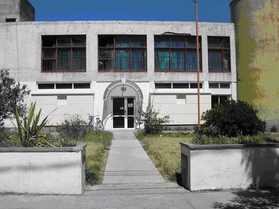
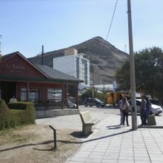
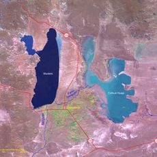
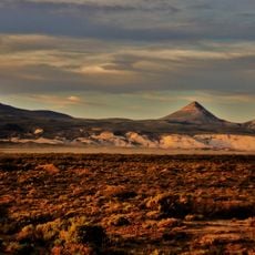
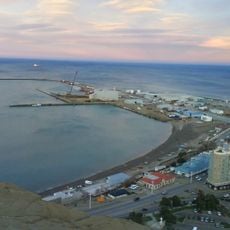
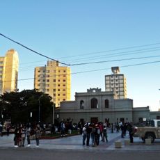
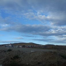
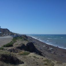
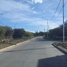
Sarmiento is a small town in Sarmiento Department in Chubut, Argentina, situated in a fertile valley between two lakes. The area features wide plains and open landscapes, with simple streets and houses that reflect the traditional architecture of the region.
The area was inhabited by the Tehuelche people for over ten thousand years, leaving rock carvings visible today. In the late 1800s, Welsh settlers arrived at the lakes, followed by a group of settlers from southern Africa around 1900, both shaping the region's development.
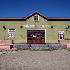
The town is named after Domingo Faustino Sarmiento, a prominent Argentine writer and politician of the 19th century. Local people keep traditions alive through festivals and gatherings where regional music, dances, and crafts are celebrated, connecting residents to their shared heritage.
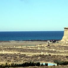
The best time to visit is from November to April when the climate is warmer, though nights remain cool. It is important to fill up on fuel and bring warm clothing, water, and food, as services are scarce along the route and distances are long.
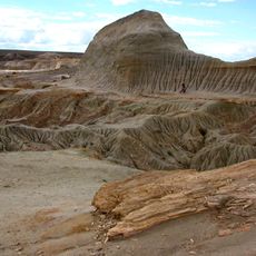
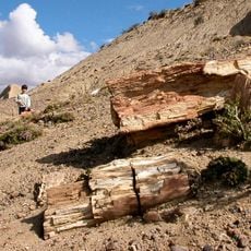
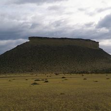
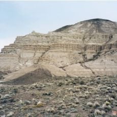
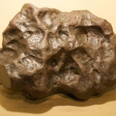
The surrounding area contains a large petrified forest with trees that turned to stone over 65 million years ago. These petrified trees still look like living wood, though they are actually minerals that preserved their original shape.
The community of curious travelers
AroundUs brings together thousands of curated places, local tips, and hidden gems, enriched daily by 60,000 contributors worldwide.