Ramis River, Major river system in Puno Region, Peru
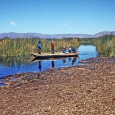
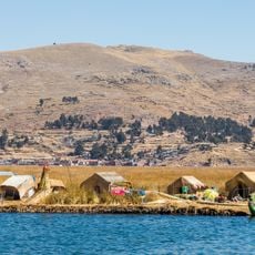
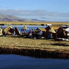
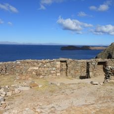
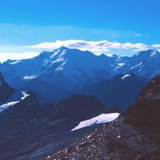
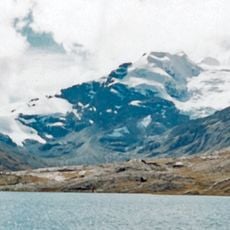
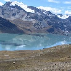
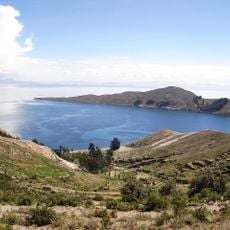
Ramis River is a major watercourse in the Puno Region that flows through rugged Andean terrain for roughly 300 kilometers. The water begins high in the mountains and travels downward until it reaches and joins a large mountain lake, passing through several provinces along the way.
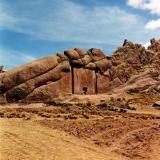
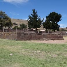
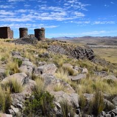
The watercourse developed through natural geological processes in the highlands and supported human settlement for centuries. Industrial mining operations in the early 2010s caused significant pollution that damaged water quality and affected people who depend on it.
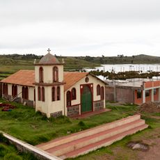
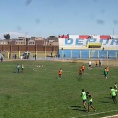
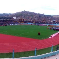
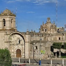
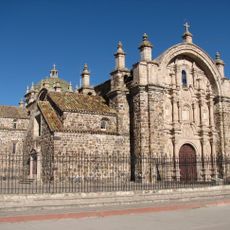
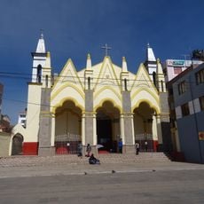
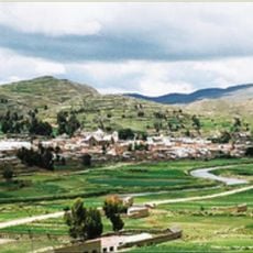
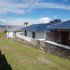
The people living along the watercourse have shaped their way of life around the water and its seasonal rhythms for centuries. You can see how farming remains central to daily routines in the towns and villages scattered across the valley.
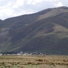
The river valley is accessible by foot or vehicle, though road conditions in mountain regions vary with the seasons. During the rainy season, paths can become slippery and muddy, so sturdy footwear and knowledge of local trails are helpful.
The watercourse goes by different names as it flows downstream, changing its identity multiple times across its path. Tracking these name changes helps visitors understand how geography and local naming traditions are connected.
The community of curious travelers
AroundUs brings together thousands of curated places, local tips, and hidden gems, enriched daily by 60,000 contributors worldwide.