Surco District, Administrative district in Huarochirí Province, Peru.
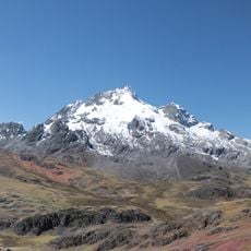
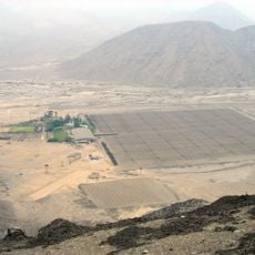
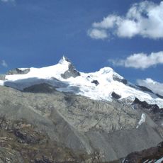
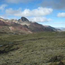
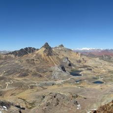
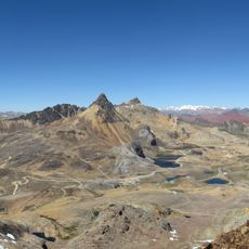
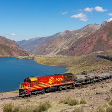
Surco District is an administrative district in Huarochiri Province, located in the central highlands of Peru, enclosed by steep mountain ridges and deep river valleys. The land sits at high elevation throughout, which shapes the climate, the type of vegetation, and where small communities have settled across the territory.
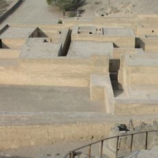
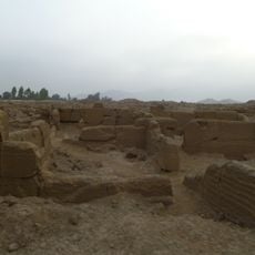
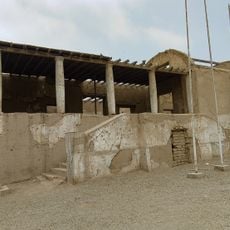
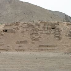
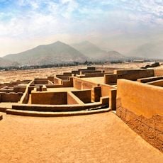
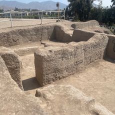
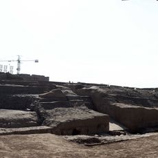
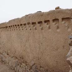
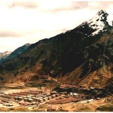
Surco District was formally established as its own administrative unit in 1920, when it was separated from the broader territorial arrangements of Huarochiri Province. The area had been inhabited long before that, as traces of pre-Columbian settlement are still visible in the surrounding hills.
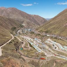
Stone farming terraces cut into the hillsides are one of the most visible features of daily life in Surco, still used by local farmers today. Walking through the valleys, you can see how these terraces follow the natural shape of the mountains and divide the land into working plots.
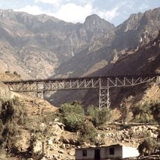
Roads leading into the district can be in poor condition depending on the season, so a sturdy vehicle is strongly advised. Visitors who are not used to elevations above around 10,000 feet (3,000 meters) should plan for at least a day of adjustment after arriving.
The district sits within the Rimac River watershed, whose waters eventually supply the city of Lima far below on the coast, though most people in Lima never think about where that water originates. This hidden connection between the mountain zone and the capital is one of the less obvious things to consider when passing through.
The community of curious travelers
AroundUs brings together thousands of curated places, local tips, and hidden gems, enriched daily by 60,000 contributors worldwide.