
Pichari District, Administrative district in La Convención Province, Peru.
Pichari District is an administrative division in La Convención Province that encompasses varied terrain stretching from higher elevations to forested lowlands. The landscape transitions from mountain features characteristic of the Andes to zones approaching the Amazon basin.
The district was established in 1995 as a separate administrative unit following broader reorganization efforts in La Convención Province. This administrative change reshaped local governance structures in the region.
Asháninka, Machiguenga, Yine, and Quechua communities live in the district and use their traditional languages alongside Spanish in daily life. This language diversity shapes social interactions and reflects the area's cultural layers.
The area is accessible from Cusco via multiple routes passing through different elevations and terrain types. The dry season offers better road conditions for travel within and around the district.
The district straddles an ecological boundary where coffee cultivation thrives in upper zones while tropical forest resources exist in lower elevations. This geographic position creates a meeting point of two distinctly different ecosystems.
Location: La Convención Province
Capital city: Pichari
Elevation above the sea: 614 m
Shares border with: Río Tambo District, Kimbiri District, Ayna District, Sivia District, Llochegua District, Canayre
GPS coordinates: -12.51973,-73.82949
Latest update: December 7, 2025 19:25
Vilcabamba
79.9 km
Pampas de Ayacucho Historical Sanctuary
66.8 km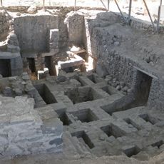
Wari archaeological complex
72.1 km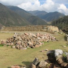
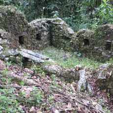
Vitcos
117.4 km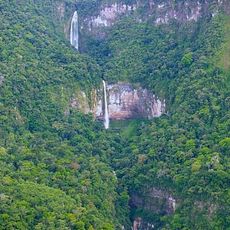
Tres Hermanas Falls
63.5 km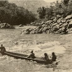
Pongo de Mainique
114 km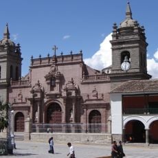
Ayacucho Cathedral
83.2 km
Suntur
135.4 km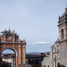
Arco de Triunfo de Ayacucho
83.6 km
Titankayuq
116.6 km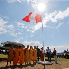
Asháninka Communal Reserve
92 km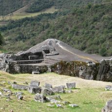
Ñusta Hisp'ana
118.3 km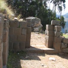
Inti Watana, Ayacucho
121.6 km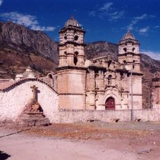
Sanctuary of Our Lady of Cocharcas
121.8 km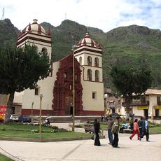
St. Anthony Cathedral, Huancavelica
127.7 km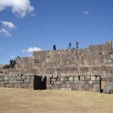
Usnu, Ayacucho
126.9 km
Machiguenga Communal Reserve
89.7 km
Millka
138.4 km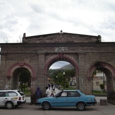
Alameda Valdelirios
84.3 km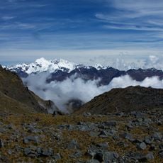
Pumasillo
136.5 km
Estadio Municipal de Huanta
64.5 km
Uchkus Inkañan
114.8 km
Iglesia San Juan Bautista de Vilcashuamán
127 km
Museo de la Memoria "Para que no se repita"
82.6 km
Marayniyuq
68.1 km
Campanayuq Rumi
127 km
Kunturkunka
61.8 km
Museo de Sitio de Wari
72.4 kmVisited this place? Tap the stars to rate it and share your experience / photos with the community! Try now! You can cancel it anytime.
Discover hidden gems everywhere you go!
From secret cafés to breathtaking viewpoints, skip the crowded tourist spots and find places that match your style. Our app makes it easy with voice search, smart filtering, route optimization, and insider tips from travelers worldwide. Download now for the complete mobile experience.

A unique approach to discovering new places❞
— Le Figaro
All the places worth exploring❞
— France Info
A tailor-made excursion in just a few clicks❞
— 20 Minutes