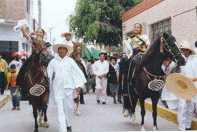
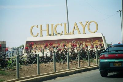
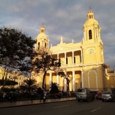
Chiclayo province, Administrative province in Lambayeque Region, Peru
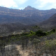
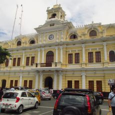
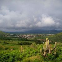
Chiclayo province is an administrative region on Peru's northern coast that encompasses several districts with Chiclayo as its main city. The area combines coastal flatlands with river valleys, making it a key economic center.
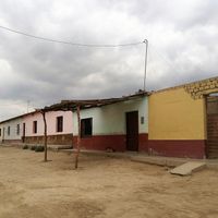
The region became a province in the 19th century and grew from small farming settlements into a major trading center. This development was possible because of access to reliable water sources and productive land.
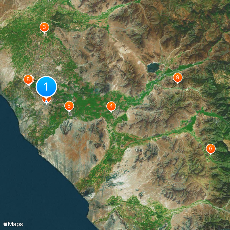
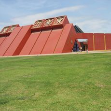
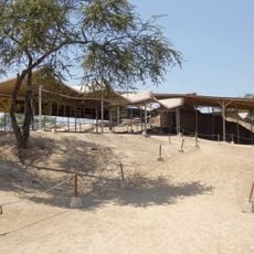
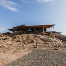
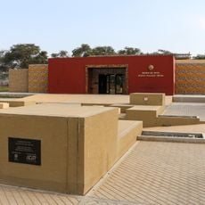
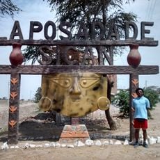
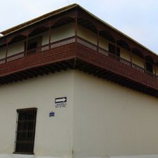
The area holds many pre-Columbian archaeological sites that reflect the legacy of the Moche civilization. Local museums display pottery, textiles, and objects that show how people lived in this region centuries ago.
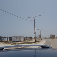
The province connects to other Peruvian cities through an international airport and a major highway, making it easy for visitors to arrive. Having a vehicle for local travel helps, since attractions and towns are spread across different districts.
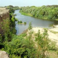
Much of the land is actively farmed and has complex irrigation systems that connect various water sources together. This infrastructure allows sugarcane, cotton, and rice to grow in an otherwise dry climate.
Location: Lambayeque Department
Capital city: Chiclayo
Shares border with: Lambayeque Province, Ferreñafe Province, Chota Province, Santa Cruz Province, San Miguel Province, Chepén Province
GPS coordinates: -6.76389,-79.83750
Latest update: December 14, 2025 20:21
The Royal Tombs of Sipan Museum
9.5 km
Túcume
27.6 km
Huaca Rajada
26.4 km
Ventarron
9.9 kmNanchoc
69.4 km
St. Mary's Cathedral, Chiclayo
868 m
Brüning Museum
9.9 km
Private Conservation Area Chaparrí
53.3 kmPampa Grande
40.2 km
Museo de Sitio Huaca Rajada - Sipán
26.5 km
Museo de Sitio Túcume
27.4 kmCerro Pátapo ruins
21.8 km
Zaña Afroperuvian Museum
33.1 km
Palacio Municipal, Chiclayo
829 m
Sicán National Museum
16.6 kmÚcupe
34.1 kmHuaca Santa Rosa de Pucalá
23.7 kmZaña Valley
31.1 kmCasa Museo Héroe Cap. FAP José Quiñones
13.7 kmPlaya La Cruz del Faro
17 kmPlaya La Punta
42.3 kmPlaya Mal Paso
28.1 kmPlaya de Lobos
23.3 kmPlaya Calanloche
32.9 kmEten Lighthouse
21.5 kmSantos Vera Museum
29.1 km
Casa Montjoy
10.2 kmCasona Los Portales
15.1 kmVisited this place? Tap the stars to rate it and share your experience / photos with the community! Try now! You can cancel it anytime.
Chiclayo district
Cayalti District
Chongoyape District
Eten District
Etén Puerto District
José Leonardo Ortíz District
La Victoria
Lagunas District
Monsefú
Nueva Arica District
Oyotún District
Patapo District
Picsi District
Pimentel
Pomalca District
Pucalá District
Reque District
Santa Rosa Distrito
Tumán District
Saña District
Discover hidden gems everywhere you go!
From secret cafés to breathtaking viewpoints, skip the crowded tourist spots and find places that match your style. Our app makes it easy with voice search, smart filtering, route optimization, and insider tips from travelers worldwide. Download now for the complete mobile experience.
A unique approach to discovering new places❞
— Le Figaro
All the places worth exploring❞
— France Info
A tailor-made excursion in just a few clicks❞
— 20 Minutes