Enable Location

We need your location to show you interesting places around you

Discover nearby places

Find interesting locations and hidden gems around you

Precise directions

Get accurate directions and distances to places

Your location is never shared with other users. It's only used when you tap the location button.

Tingo María

Log in to your account

Start exploring — it's free

Trusted by 61,931 travelers worldwide

Continue with Google
Continue with Apple
or

We will send you a code to connect

By continuing, you accept our Terms and Conditions and our Privacy Policy

Check your inbox

We've sent a pincode in your inbox. Please enter the code below.

Tingo María

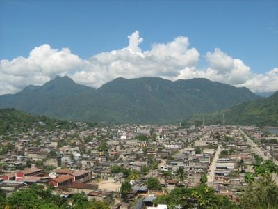
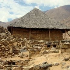
Tingo María, Agricultural center in Rupa-Rupa District, Peru

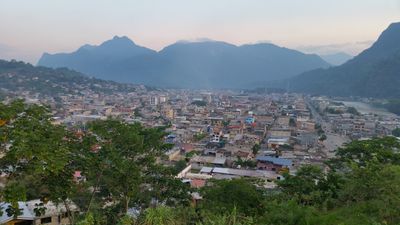
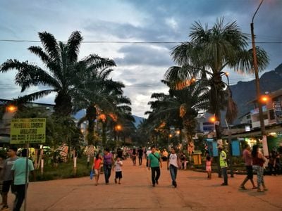
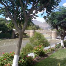
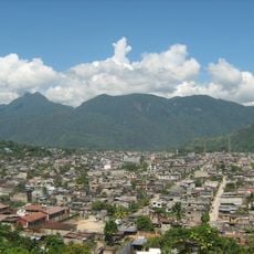
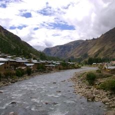
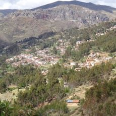
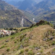
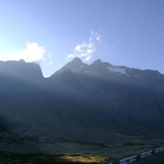
Tingo María is a city in Rupa-Rupa District, Peru, sitting in a valley where mountains meet tropical lowlands. Streets extend along both riverbanks with residential neighborhoods, markets and agricultural supply shops.

The city emerged in 1938 after a road connecting Lima with the Amazon region was built. This new route opened the area to settlers and transformed the remote zone into a center for agriculture and trade.

The agricultural focus of the city shows in the roadside stalls with fresh produce and the small workshops making tools for fieldwork. The name combines Quechua words for confluence and forest, reflecting its geographic position between highlands and Amazon basin.

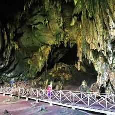
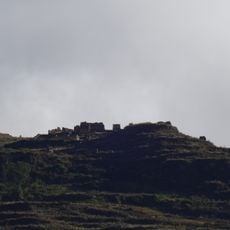
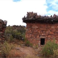
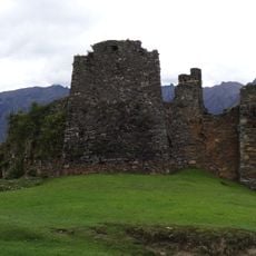
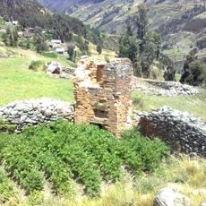
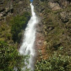
The city serves as a stopping point on the route between the coast and lowland rainforest, with easy access to nearby natural areas. Visitors exploring the surroundings can find local guides who arrange trips to river sites and caves.

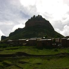
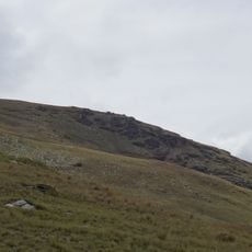
A nearby national park contains a limestone formation that forms the profile of a reclining figure when viewed from certain angles. This natural shape has given the area a local nickname among residents.

The community of curious travelers

AroundUs brings together thousands of curated places, local tips, and hidden gems, enriched daily by 60,000 contributors worldwide.

Start exploring
Inception
October 15, 1938
Elevation above the sea
647 m
GPS coordinates
-9.30151,-76.00279
Latest update
December 13, 2025 16:56
« Tingo María - Agricultural center in Rupa-Rupa District, Peru » is provided by Around Us (aroundus.com). Images and texts are derived from Wikimedia project under a Creative Commons license. You are allowed to copy, distribute, and modify copies of this page, under the conditions set by the license, as long as this note is clearly visible.

Discover hidden gems everywhere you go!

From secret cafés to breathtaking viewpoints, skip the crowded tourist spots and find places that match your style. Our app makes it easy with voice search, smart filtering, route optimization, and insider tips from travelers worldwide. Download now for the complete mobile experience.

Around Us App Screenshot

A unique approach to discovering new places

Le Figaro

All the places worth exploring

France Info

A tailor-made excursion in just a few clicks

20 Minutes

Around Us
Travel Guide & Maps
Download

Send to your phone

QR Code
1

Open the camera app on your mobile.

2

Point at the QR code with your camera. A notification will appear.

3

Tap the notification to open the link.